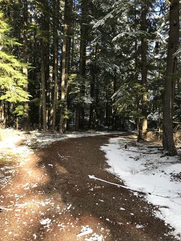
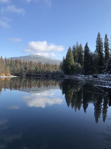
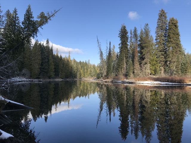
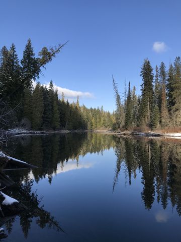
The Portage Trail is a short quartermile spur trail from Beaver Creek Campground to the Thoroughfare connecting upper and lower Priest Lakes. It’s probably far easier to put a kayak or canoe into lower Priest Lake at the campground, which features a convenient boat ramp, but that necessitates a half-mile paddle around a sandbar jutting out into lower Priest.
| Location | Selkirk Mountains |
| Rating | 2.3 out of 5 |
| Difficulty | Easy |
| Distance | 0.6 miles |
| Duration | 0:09 hours moving time (hiking) |
| Elevation Gain | 183 feet |
| High Point | 2,580 feet (trailhead) |
| Low Point | 2,429 feet (Thoroughfare) |
| Trail Type | Out-and-back |
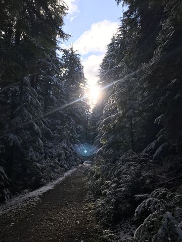
| Trailbed | Former forest road, packed dirt |
| Water | Beaver Creek Campground |
| Status | Unprotected |
| Administration | Kaniksu National Forest |
| Conditions | Excellent |
| Permits | None required |
| Camping | Beaver Creek Campground |
| Maps | USGS Priest Lake NE |
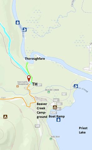
| Trailhead | From Priest River, head north on ID-57 for 36.5 miles. Take a right onto Reeder Bay Road and follow it for 12 miles (it eventually turns into NF-2512). As you approach Beaver Creek Campground, take a left for just a short distance, then immediately right (if you end up on a gravel road you’ve gone too far). Stay left as you drive past the campground. The road crosses Beaver Creek and winds up the hill a bit to a parking lot. The trail starts at the east end of the lot.
Google Directions (48.739158, -116.862699) |
| Season | Year-around |
| Squirrel Density | Plenty! |
| Features | Lake, Riverwalk |
| Distance From |
|
| Resources | |
| Nearby Hikes | |
| Date | November 11, 2018 |
Enjoy this hike? Let us know in the comments below!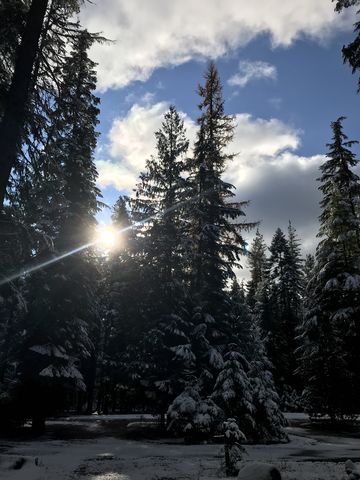
© 2016 – 2018 NaughtyHiker. All rights reserved. No duplication without permission.
We like your website, it has nice articles, Thanks.