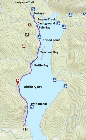
The Lakeshore Trail is the northernmost section of a trail stretching along virtually the entirety of Priest Lake’s western shore. Most of the lakeshore land in this section is publicly owned and thus the trail hugs the lake closely and offers numerous opportunities for camping.
| Location | Selkirk Mountains |
| Rating | 3.5 out of 5 |
| Difficulty | Easy (some exposed roots and seasonal flooding) |
| Distance | 17.8 miles |
| Duration | 5:39 hours moving time (hiking) |
| Elevation Gain | 994 feet |
| High Point | 2,569 feet (between Teachers Bay and Tripod Point) |
| Low Point | 2,384 feet (Lake) |
| Trail Type | Out-and-back |
| Trailbed | Packed dirt, old logging road |
| Trail# | 294 |
| Water | There are a few suitable tributaries along the way and there is potable water at Beaver Creek Campground. I recommend against taking lake water due to agricultural runoff |
| Status | National Recreation Trail |
| Administration | Kaniksu National Forest |
| Conditions | Good, given it was late in the season. We had to climb over and under a few trees, but more than likely these are cleared out before the busier summer months |
| Permits | None required |
| Camping | There are lots of designated spots along the way. There is also car camping at Reeder Bay and Beaver Creek. Pit toilets at Bottle Bay and Beaver Creek |
| Maps | USGS Priest Lake NW, Priest Lake NE |
| Trailhead | From Priest River, head north on ID-57 for 36.5 miles. Take a right onto Reeder Bay Road and follow it for 4.4 miles. The trailhead is 100 yards or so into the woods on a gravel road. It is signed, the branch off coming immediately after the intersection with Copper Bay Cutoff Road. There is room for about a dozen cars.
Google Directions (48.648035, -116.876754) |
| Season | Year-around |
| Squirrel Density | Yeah! Unless the hawks beat you to it |
| Features | Lake, Structure, Grove |
| Distance From |
|
| Resources | |
| Nearby Hikes | |
| Date | December 9, 2017 |
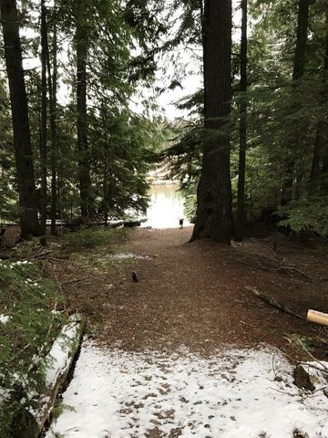
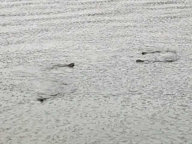
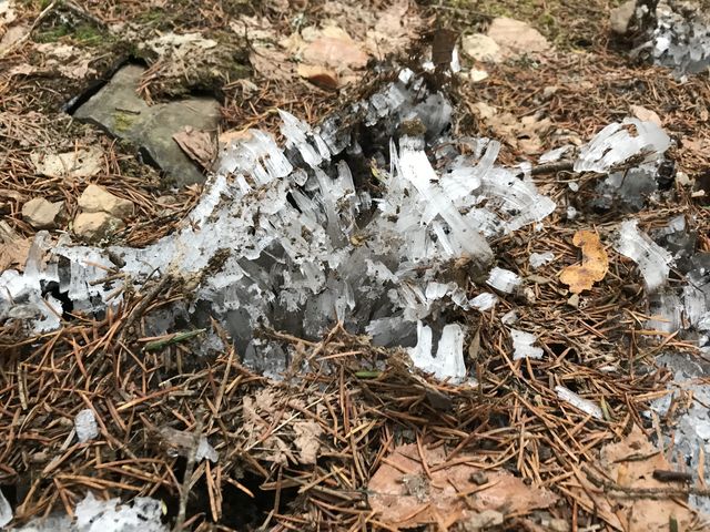
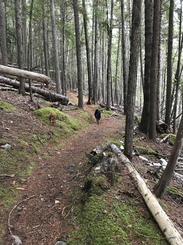
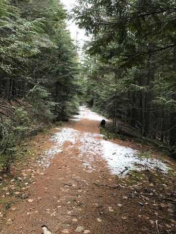
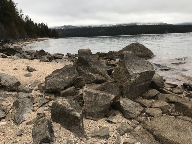
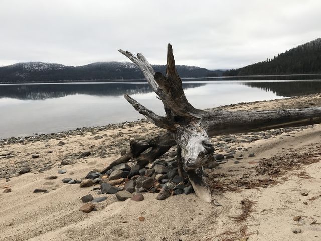
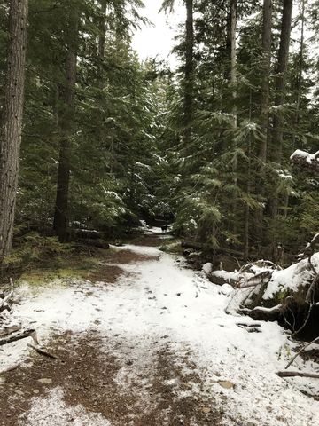
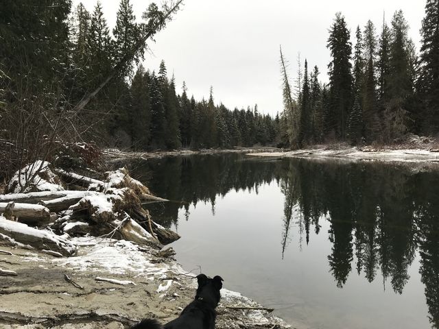
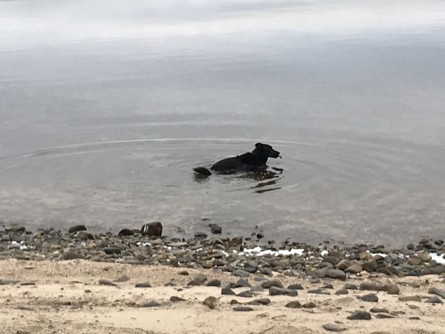
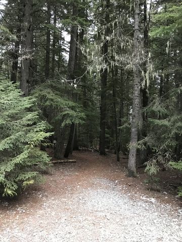 The Lakeshore Trail commences about 2 or 3 miles north of the end of the Lakeview Trail. From the trailhead, the hike immediately leads into a mixed forest of pine, larch, spruce, and mostly cedar. It reaches the lakeshore in no time and presents expansive views across the lake and the beach. On this morning it held a special surprise for us. Our luck for wildlife viewing was indeed great, having already spotted a coyote along the road on the way to the trailhead. Upon reaching the beach we now encountered a family of otters frolicking in the lake and vigurously scrubbing their armpits! Unfortunately a bit out of range for the iPhone camera.
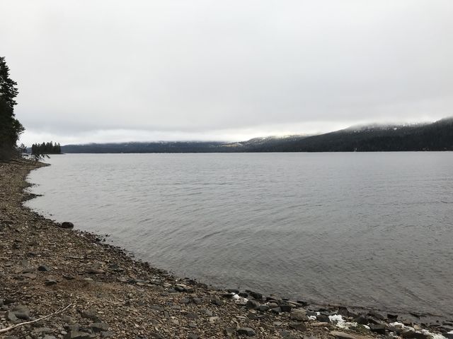
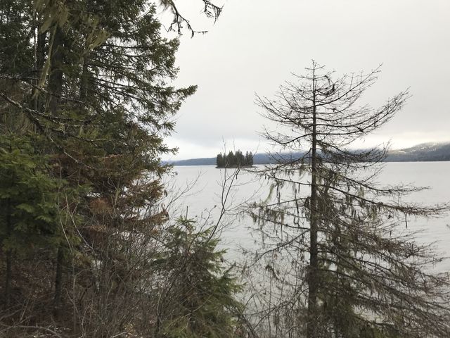
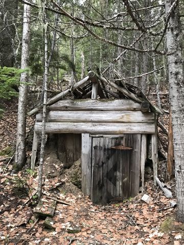 The trail then continues along the shore towards the western of the Twin Islands, passing the caved-in entrance to an old mine just ahead of the 1-mile marker. The Twin Island section is privately-owned and thus the trail moves away from the shore and into the woods and intersects with a faint trail that climbs to FR-2512. Ignore it and head down the other side to join the lakeshore once again, now at Distillery Bay. The views of the surrounding mountains are excellent, except on this morning the clouds hung low once again (the forecast was for better weather, but it wasn’t meant to be). On a clear day you should be able to see Chimney Rock, Mount Roothaan, and the rest of the southern Selkirk Crest.
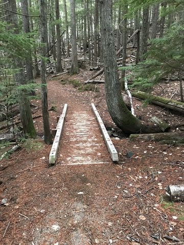
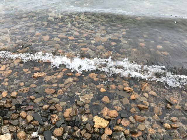
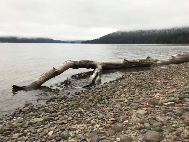
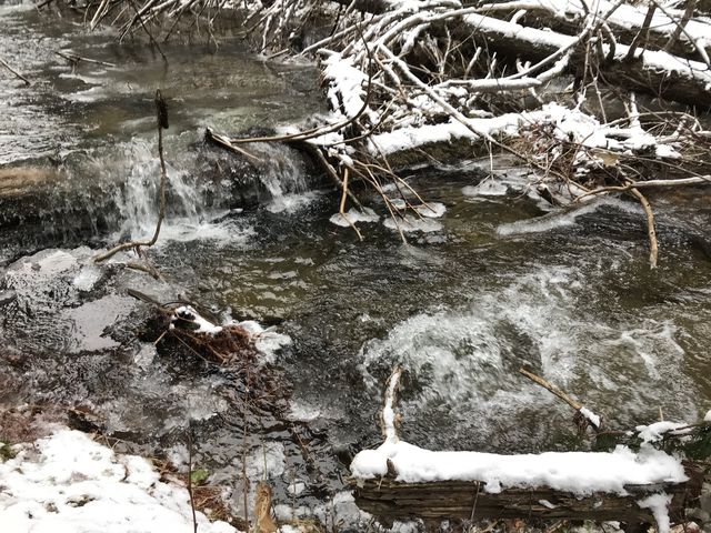
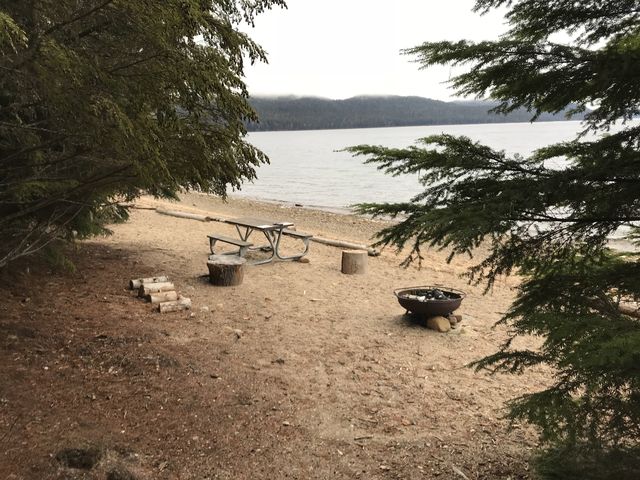 At the northern end of Distillery Bay, the trail uses the bed of an old logging road and climbs the hillside towards Bottle Bay. Just before meeting up with FR-2512, the trail leaves the logging road (though there is the opportunity to head up to FR-2512 if you have a shuttle car parked there), and drops down through the woods alongside Tango Creek to Bottle Bay. Bottle Bay comes complete with a sweeping gravel beach and at least six campsites and a pit toilet.
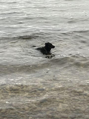
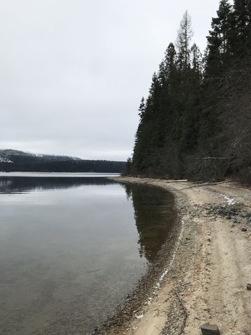 Past Bottle Bay, the trail meanders through the woods, mostly paralleling the lake, rising and dropping a bit here and then, as you stumble upon Teachers Bay and Tripod Point. Near Tripod Point, Naughty scared up a squirrel and sent it flying into a tree, only to have a hawk suddenly swoop in through the forest and snatch the object of the treeing operation right off the cedar! Naughty was nearly as surprised as the squirrel, who got briskly whisked off to be devoured in the trees.
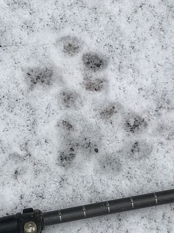
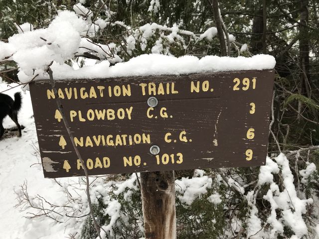
 Then if twas off to Tule Bay, where the trail ends at Beaver Creek campground (a car-camping campground). The campground was abandoned for the winter and thus we wandered through it in search of the Portage Trail leading to the Thorofare. In the process we encountered and followed a set of cougar tracks. Naughty wasn’t much interested in the prints, meaning they were probably old. Anyway, after crossing the campground we connected to the Navigation trail, which heads 11 miles along Upper Priest Lake. We hoped to find an intersection to the Portage Trail along the first mile, but that wasn’t so. After backtracking to the parking lot we found another intersection at the east end of the parking lot: the elusive Portage Trail. In a bit over 500 feet it deposits you on the shore of the Thorofare, a canal connecting upper and lower Priest Lakes.
Enjoy this hike? Let us know in the comments below!
Alternate Routes
- If you have a shuttle car, you can park it at Beaver Creek campground or at one of the cutoff trails leading from FR-2512 to the Lakeshore trail. The mileage from the trailhead to Beaver Creek is 7.5 miles
- You can extend the trail at the southern end by connecting to the Lakeview Trail (requires hiking 2-3 miles on FR-2512). To extend it at the northern end continue on the Navigation Trail
© 2016 – 2018 NaughtyHiker. All rights reserved. No duplication without permission.