- Clearwater Mountains
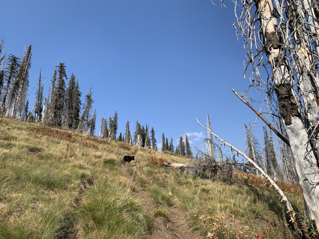
- There are many opportunities, but most are dry. Avoid the burned forest
- Expect a fair bit of deadfall
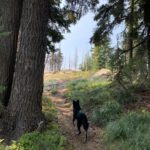
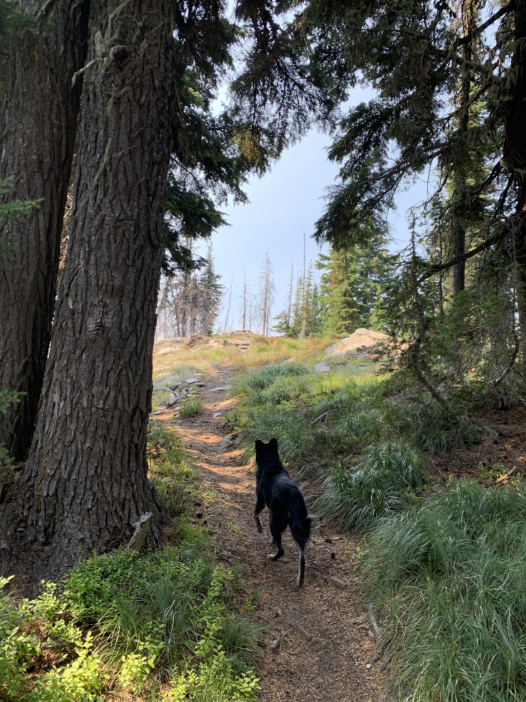
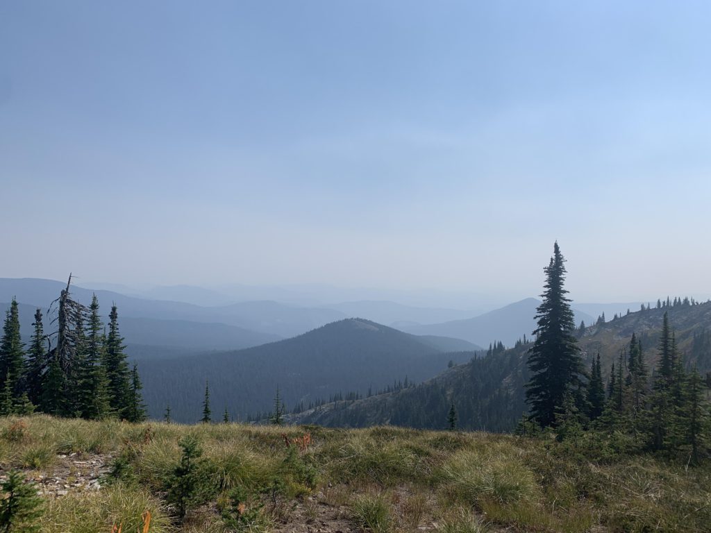
The hike starts out in an old burn, initially moving along a ridge that extends southwest from Breezy Point for three-quarters of a mile. The trail weaves in and out of burnt patches, with decent, albeit filtered, views of Lookout Mountain and in a few spots Fish Lake. Then the trail switchbacks and descends through light forest and sub-alpine meadows to the saddle below Lookout Mountain, the low point of this hike, at the 1.6-mile mark. At that point, the forest is fully intact and views are few. Quickly, the trail starts to climb in yet thicker forest, but the forest retreats on approach to Lookout Mountain at the 3-mile mark, having gained about 800 vertical feet over 1.5 miles. The last bit ahead of the summit rides along the edge of a talus and boulder slope.
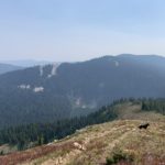
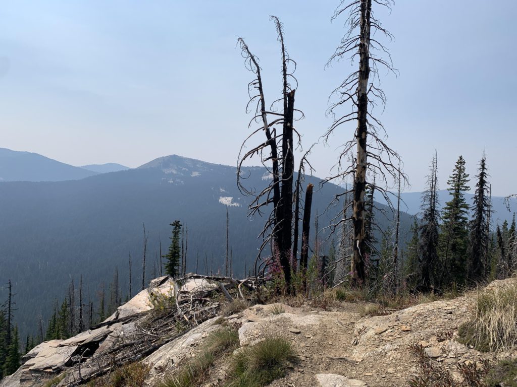
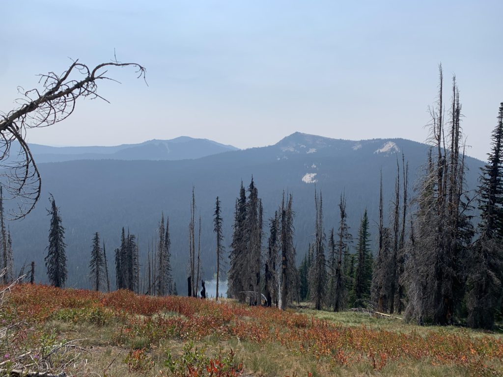
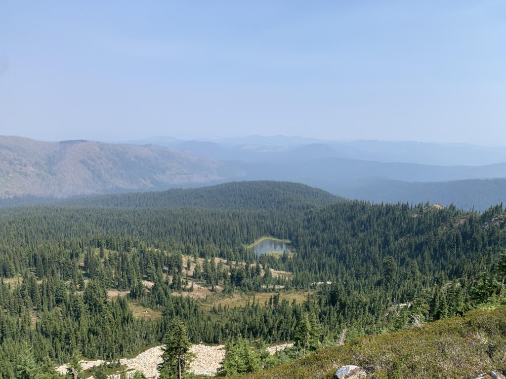
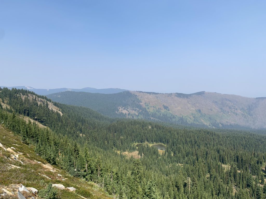
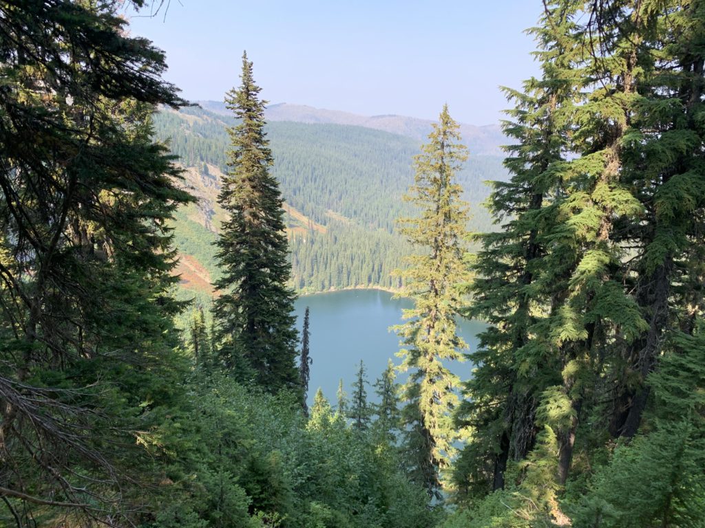
Even though Lookout is the shorter of the two mountains, a lookout once was located here. Views are quite fabulous (the summit is largely talus), be it backwards onto the bare (burned) Breezy Point ridge, the unfurling expanse of green forest in the Clearwater drainage, or the other side towards Grandmother and Grandfather mountains (unfortunately swallowed in a wildfire-smoke haze). Far below are several bodies of water, including a few ponds on the north side that are the humble origin of the mighty Little North Fork Clearwater River–there is nothing little about it by the time it reaches the Mallard-Larkins. On the south side you will spot Lost Lake, the largest lake in this area.
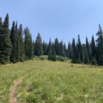
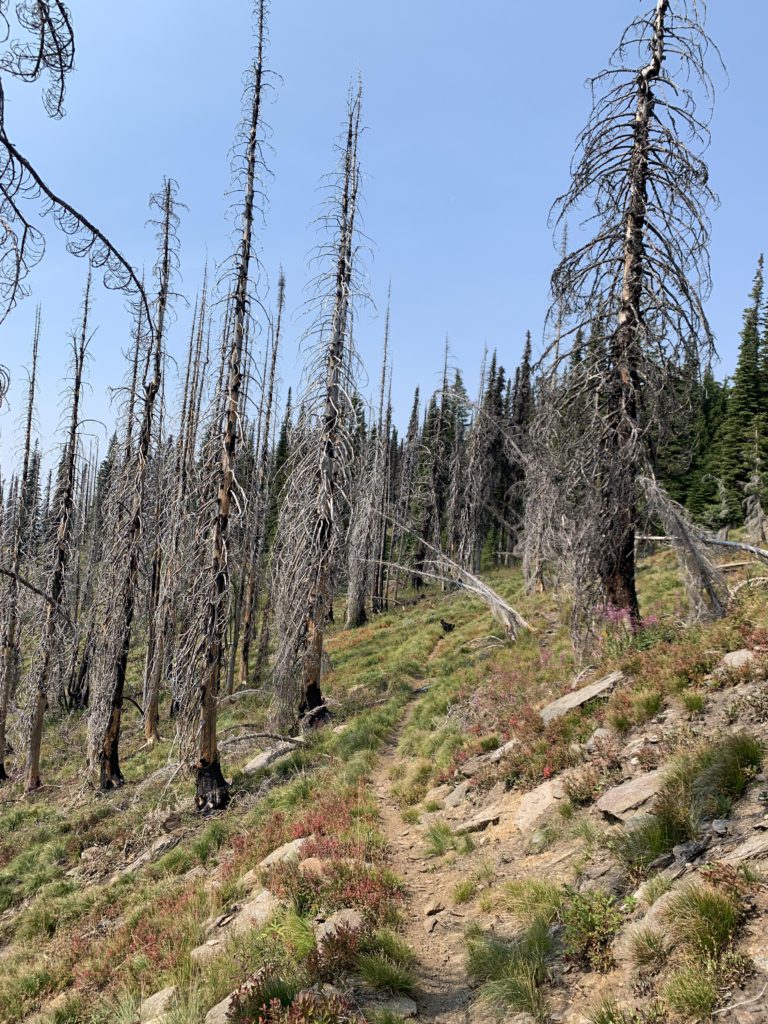
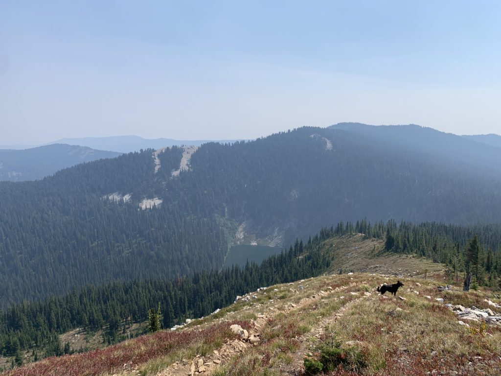
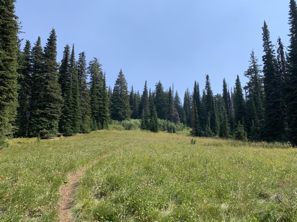
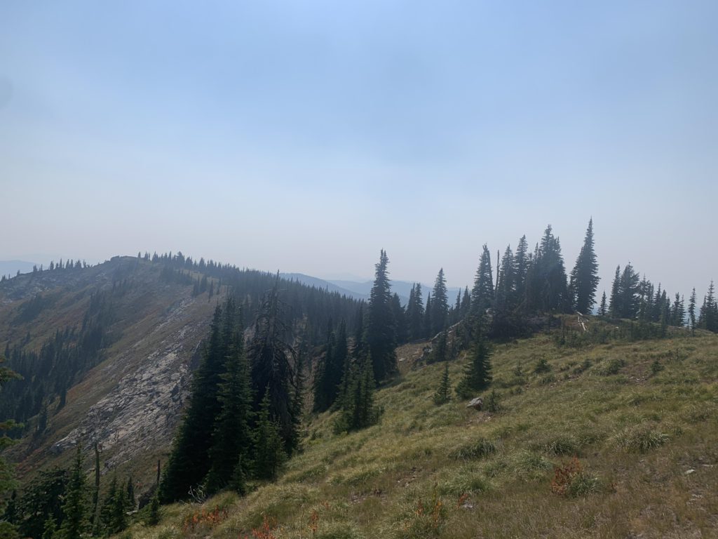
The trail follows a ridge of Lookout towards Lost Lake, rapidly losing elevation on a singletrack littered with rocks. It only takes a mile to drop to the saddle between Lookout and Widow, with the second half of the stretch once again engulfed by evergreens. In the saddle there are a couple spots where you can approach the steep dropoff to Lost Lake, but the trail proper bypasses the cliff and the thick tree-cover eliminates any lakeviews directly from the trail. Soon, the trail starts to climb again at a moderate incline and dissects several beautiful subalpine meadows. At one such meadow you may come upon a small trickle, the only source of water along this hike. The trail then flattens and essentially contours along Widow Mountain without ever reaching the peak (it eventually ends at Orphan Point). A spur trail heads up to Widow Mountain from the southern side, perhaps a half mile from Orphan Point. Since we were not headed to Orphan Point, and the forest was quite light, we decided to climb the peak off-trail, which is relatively straightforward, the peak being only a quartermile from the trail (but a steep quartermile). Widow Mountain has two peaks, the taller one being further north. It is forested, meaning views are not as good as on Lookout and primarily focus on the Clearwater drainage. There is another lake below Widow Mountain, Little Lost Lake, but we did not spot it from the peak. There are swarms of ladybugs on Widow Mountain!
Alternate Routes
- Trail #52 continues from Widow Mountain to Orphan Point, which could be a shuttle or alternative trailhead (when driving in from Clarkia; the road is quite rough)
- Near Orphan Point trail #52 connects to Delaney Creek trail #273
- The dropoff to the lakes is fairly steep. Lost Lake is best accessed from below, but Fish Lake ought to be quite doable from the saddle below Lookout
- I found no evidence of trails 25, 26 (Bussel Peak) and assume that these are discontinued
Things to Consider
Not so great