Bramlet Lake

Bramlet Lake promises a nice, quick hike to a beautiful alpine lake lying just barely inside the Cabinet Mountain Wilderness. Access is relatively easy, but visitors are few, making it that much more appealing. The only “population” we encountered was a couple of cougars.
Location
  • Cabinet Mountains
Rating
3.2 out of 5
Difficulty
Moderate (uphill hiking)
Distance
6.8 miles
Duration
2:19 hours moving time (Hiking)
Elevation Gain
1,838 feet
High Point
5,637 feet (Bramlet Lake)
Low Point
3,900 feet (FR-2332 below trailhead)
Features
  • Lake
  • Outing Type
  • Daytrip
  • Trail Type
  • Out-and-back
  • Trailbed
    packed dirt
    Trail#
    658
    Water
  • Not much until you get to the lake
  • Camping
    • There are several nice spots along the lake
    • Lake Creek campground is nearby (we stayed there one night and had it nearly to ourselves)
    Conditions
    • Pretty good
    Administration
  • Kootenai National Forest
  • Status
  • Wilderness Area
  • Maps
    USGS
  • Howard Lake
  • Fees & Permits
  • None required
  • ()
    Open To
  • Hikers
  • Dogs
  • Horses
  • ()
    Directions
  • From Libby, MT, head south on US-2 for 24 miles, then turn right onto W Fisher Creek Road (NF-231). Continue for not quite 6 miles to a fork just ahead of Lake Creek campground. Turn right onto FR-2332 and follow it for about 3 miles. Some of the literature we used for this hike indicated that the last couple miles make for rough driving and so we parked about a mile or so ahead of the trailhead. However, that last stretch is easily doable with a passenger car. Parking is limited at the trailhead (2-3 vehicles max); do not block the access road to the mine on Bramlet Creek (ie, don’t park in front of the gate).
  • Season
    June – November
    Date
    August 29, 2019

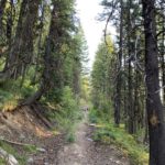
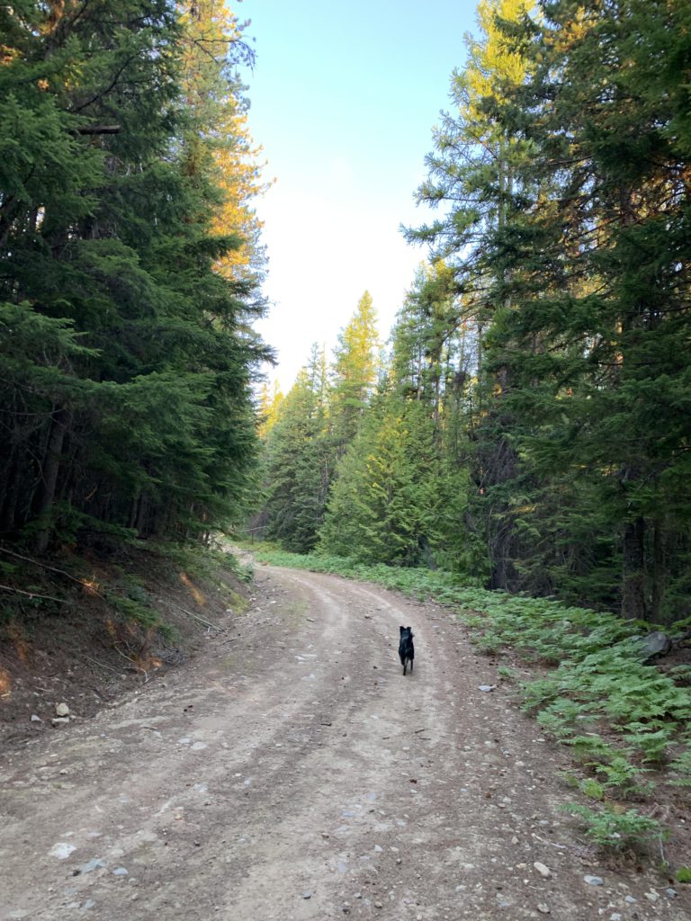
    For the first mile of this trek, we followed FR-2332 to the official trailhead. From that point, the trail follows an old logging or mining road uphill, soon switchbacks, and keeps climbing the mountain. After half a mile the trail switchbacks again and rides the spine of a ridge. There are some confusing junctions here, where you more or less stay in the middle, though I suspect the various trails all later converge anyway (when in doubt follow the cairns). The ascent steepens a bit, but remains well shaded in the forest, with few views.

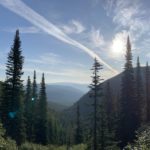
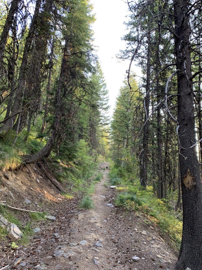
    Not quite a mile from the trailhead, the incline lessens and the trail contours along the southern side of the ridge, eventually even declining and meeting up with an old mining road a quarter mile later. The trail crosses the road and the ascent immediately resumes, with the trail now a true singletrack. This section is a bit more open, affording at least a few views into the Lake Creek canyon.

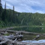
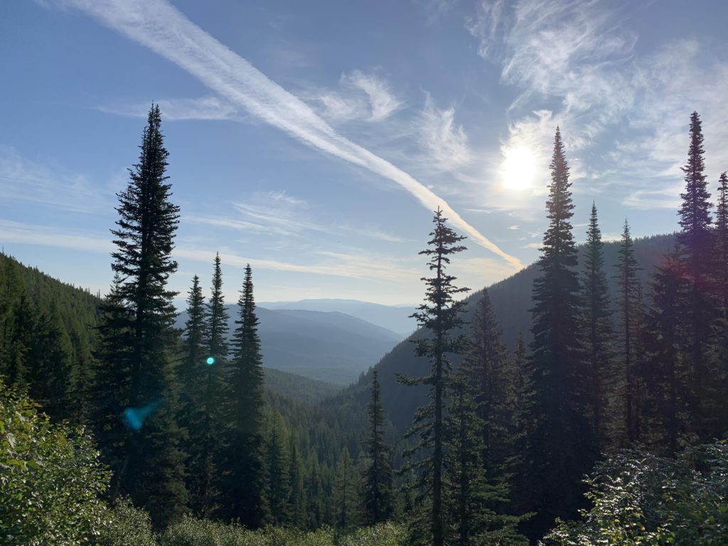
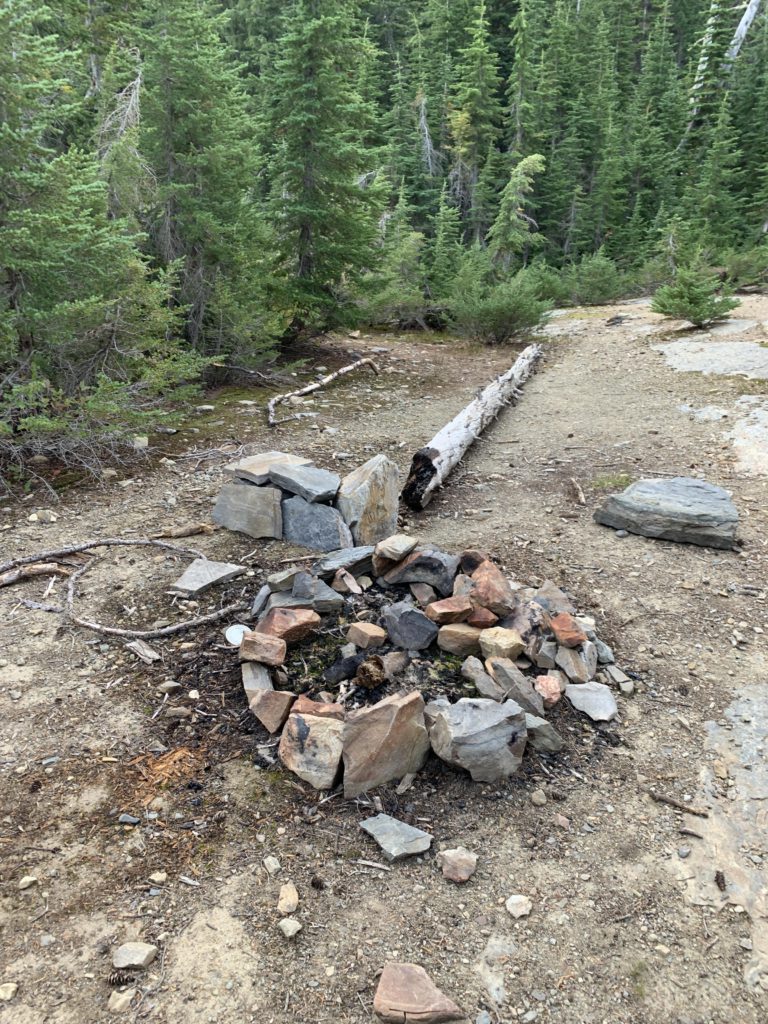
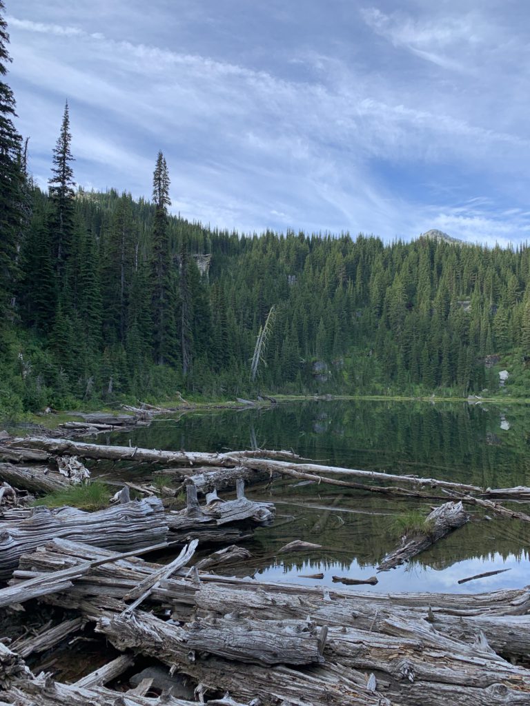
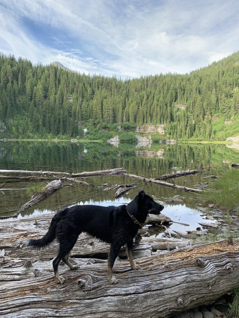
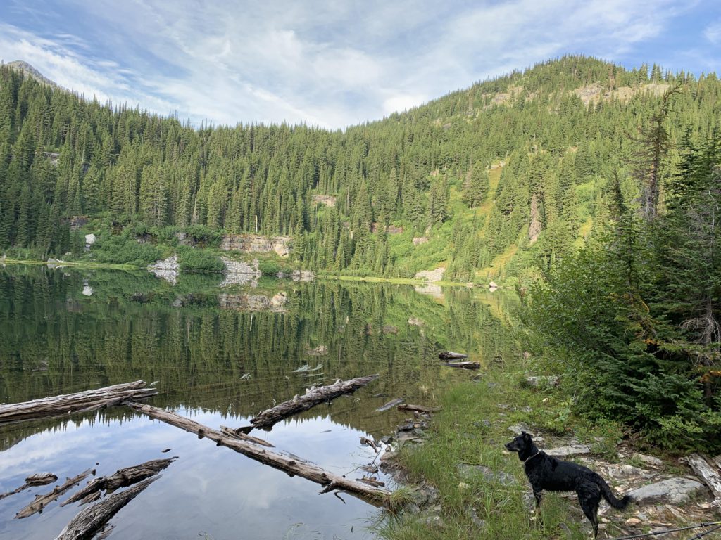
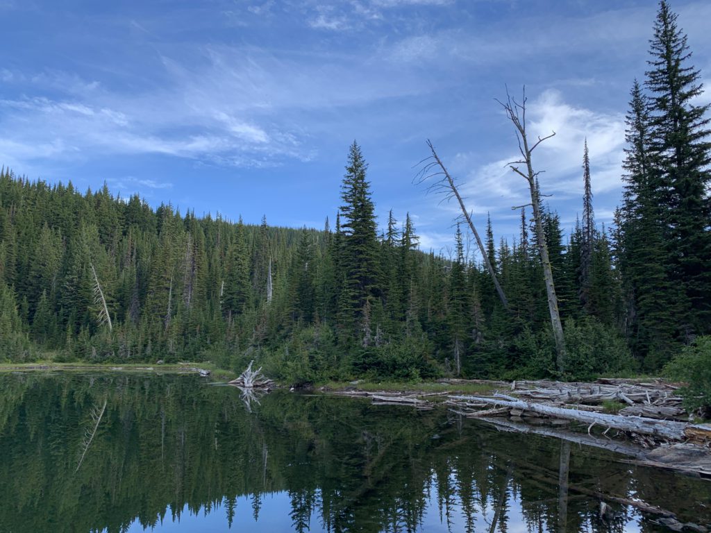
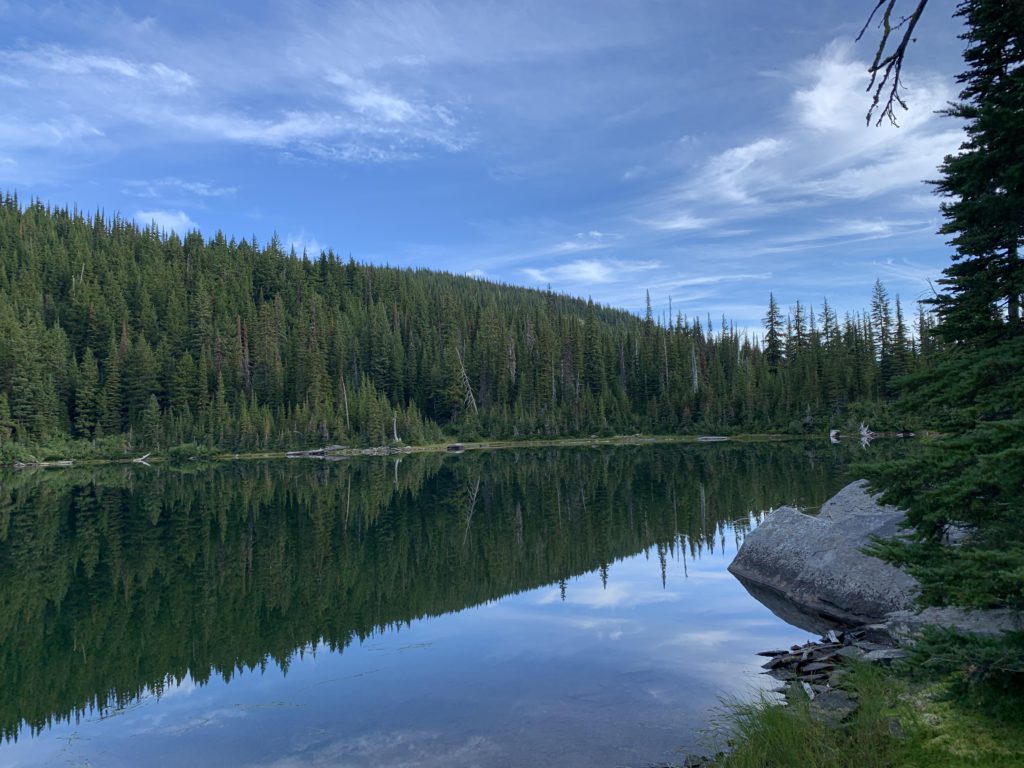
    About 2 miles in, the grade lessens once again and approaches the outlet of Bramlet lake, bordered by lush green patches of meadows (probably mud in early summer). The Wilderness boundary is then just outside the lake. The lake, overshadowed by Carney Peak, is ringed by dense forest, but a few rather nice camp spot have been carved out.

    On the way back, a pair of cougars awaited us near the trailhead. Of course, Naughty had to give chase! Luckily, the cougars fled and Naughty didn’t see a need to pursue the matter further. There’s not much that scares her; not cougar, bear or moose. Sprinklers, brooms, and Roombas, on the other hand….

    Alternate Routes

    • You can extend the excursion by a half mile in search of Upper Bramlet Lake. This promises to be a nasty bushwhack

    Things to Consider

      Not so great

        This is the access road.
        The trail starts out on this old logging road
        Views are relatively sparse
        A campsite at the lake
        Bramlet Lake, near the outlet. Carney Peak in the background
        Naughty enjoying Bramlet Lake
        Bramlet Lake, looking north
        Bramlet Lake, ringed by trees
        Bramlet Lake