- St. Joe Mountains
- Dispersed car camping along Big Creek Road and an unnamed road north of Lemonade Peak
- There is a campsite near the top of Pierce Ridge, and there are sites at Bronson Meadows
- I found no other obvious campsites, but you could easily improvise anywhere along the route. However, most places are dry.
- For the most part, pretty good and recently maintained
- The sections frequented by motorcycles are rutted, particularly the steep sections on Daugherty Hill and Divide Trail #8)
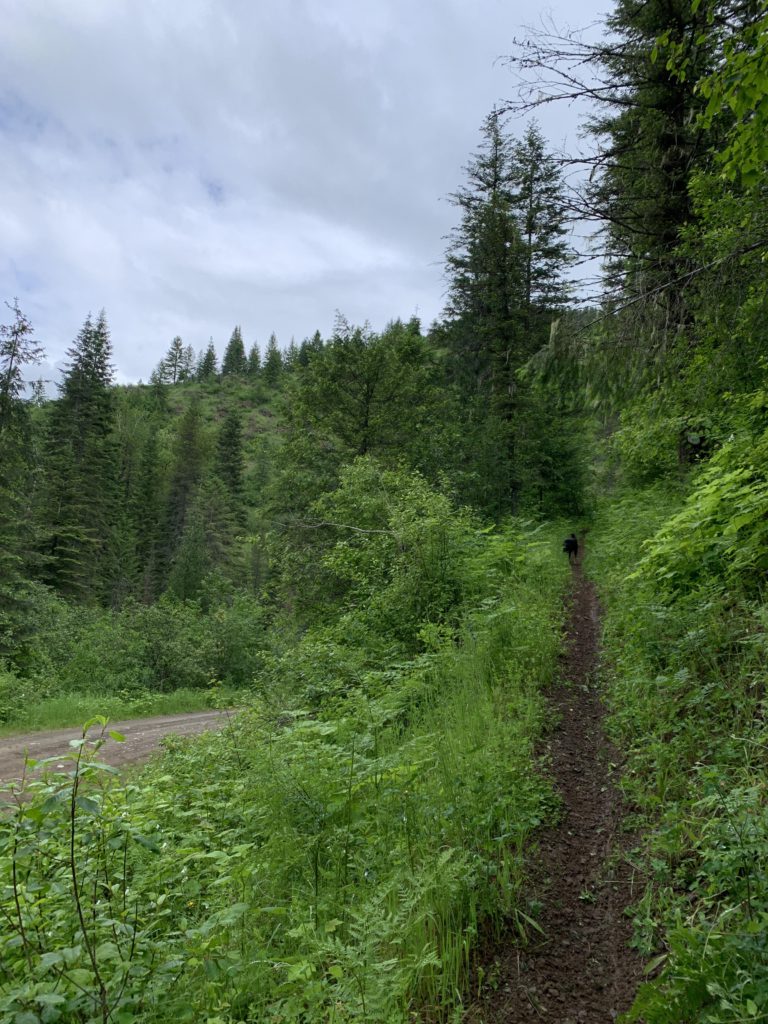
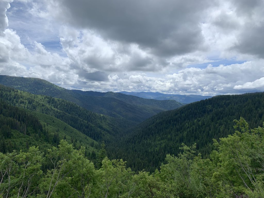
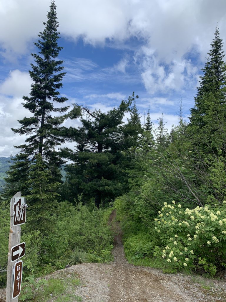
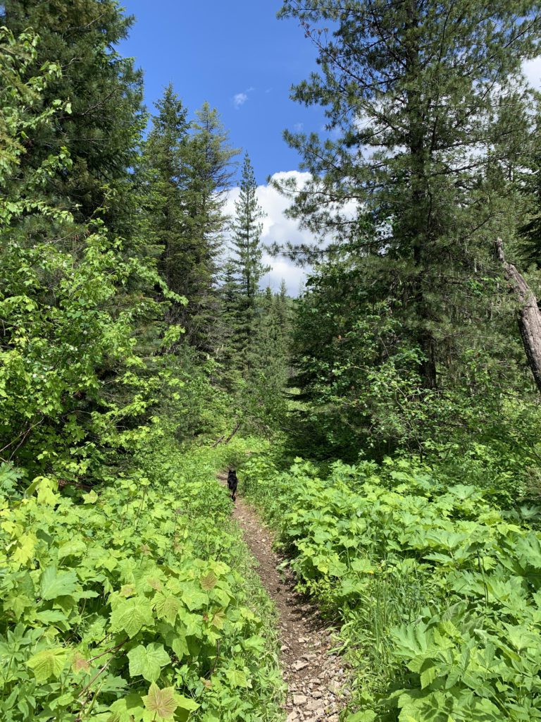
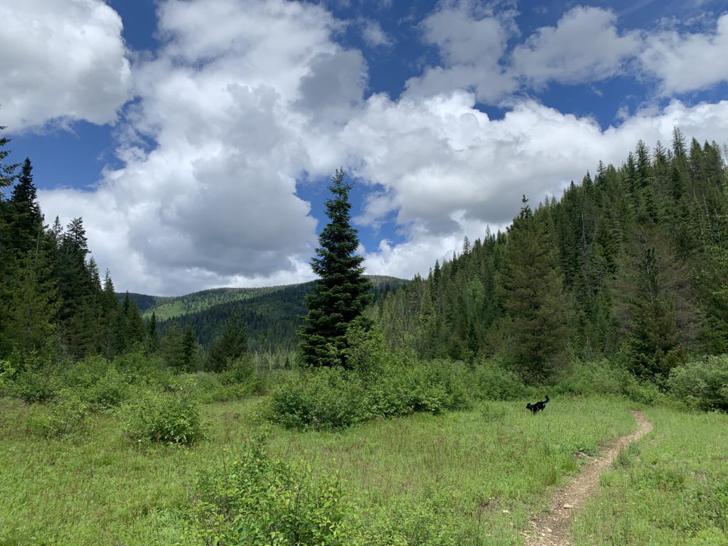
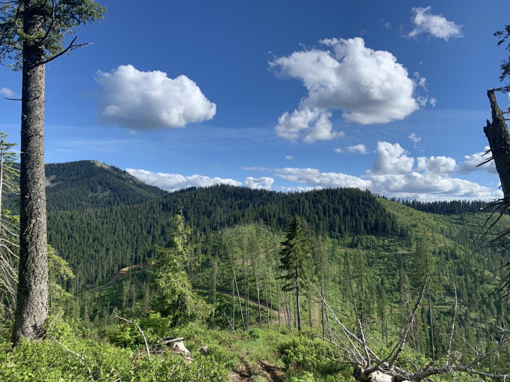
The original plan was to hike Cabin Creek Trail #565 up to Daugherty Hill, with the Pierce Ridge trailhead, where we’d emerge, only a quarter mile away and an estimated 25 miles in between. Unfortunately, Big Creek Road was gated about 2 miles from the Cabin Creek trailhead, forcing a start at trail #252 and theoretically adding 6 miles to the tally. Fortunately, however, we’d picked the longest day of the year and the 25-mile estimate was a bit high as you can see by the total mileage for the day. Trail 252 is a singletrack that immediately climbs through fairly dense forest flush with thimbleberries and ferns, but as you move higher some views, primarily towards the mouth of Big Creek, open up. The higher reaches of Daugherty Hill are mostly brush and the views get better, but still mainly into the Clearwater Mountains.
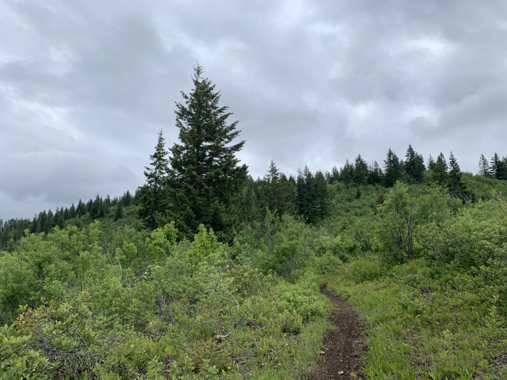
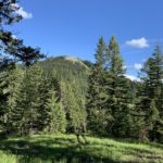
Daugherty Hill’s elevation isn’t quite 5000 feet and it isn’t quite 3 miles to get there. The views from the actual peak are limited, as the forest gets thicker, but you should be able to catch a filtered glance of Lemonade Peak across the Big Creek canyon. Then the trail drops for a short bit to a saddle and the junction with Cabin Creek Trail #565 (far less traveled), before the ascent resumes. Shortly, you’ll break through the 5000-foot level, and a longish ridge stretches out to Cameron Hill. This makes for pleasant, albeit largely viewless, hiking through an open forest carpeted thickly with beargrass and huckleberries. Cameron Hill is a grassy knoll ringed by firs; pretty, but no views. The trail appears to fork here; bear right and follow a ridge downhill, forested at first, but the trees quickly yield to shrubbery that enables a good look into the East Fork Big Creek, where you can make out trail 44 slicing across the hillside. At the 6-mile mark, the trail spills out onto FR-1907, which also serves as the intersection with trail #44.
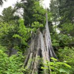
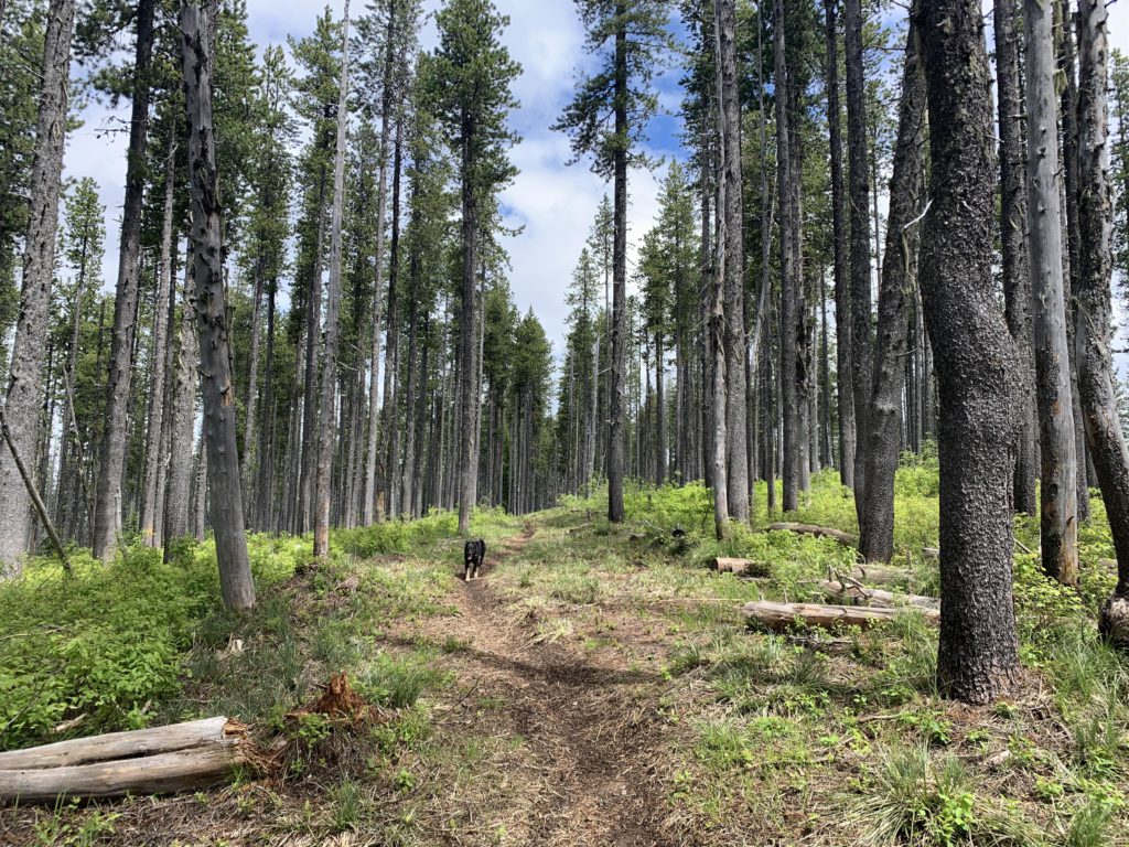
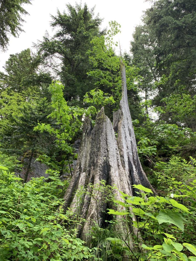
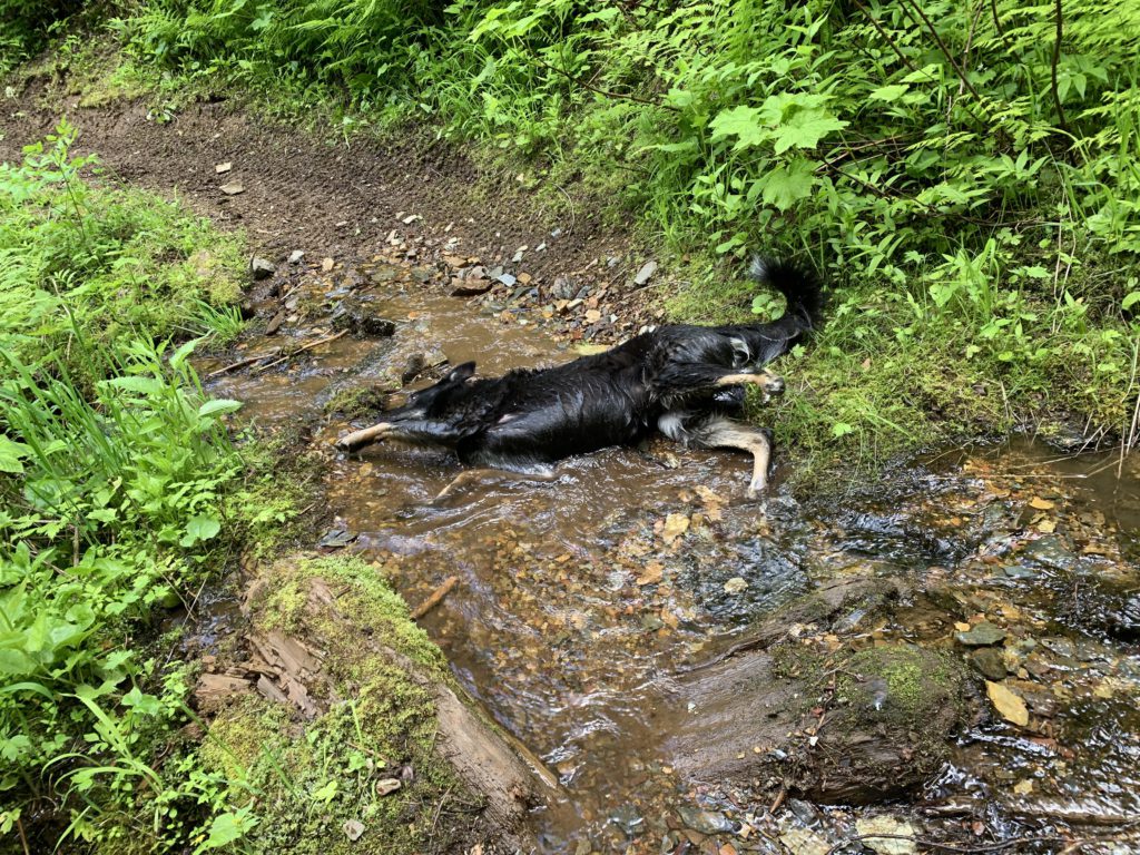
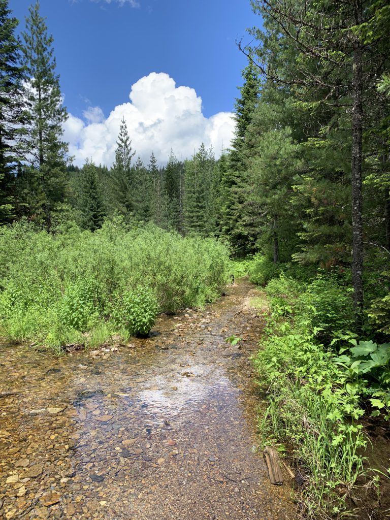
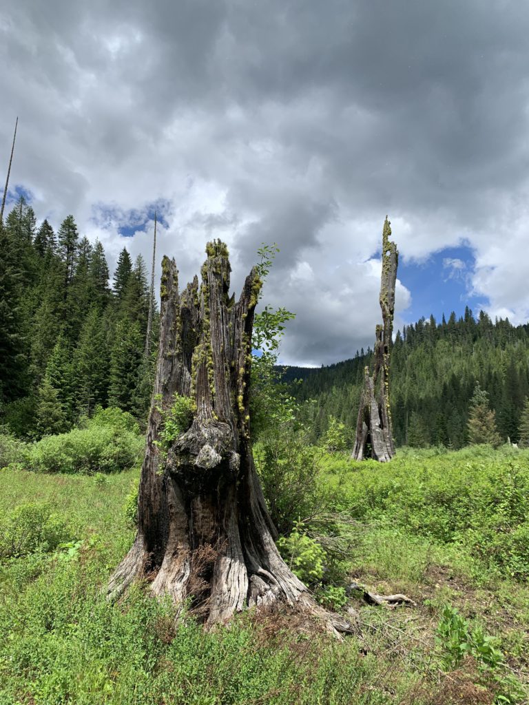
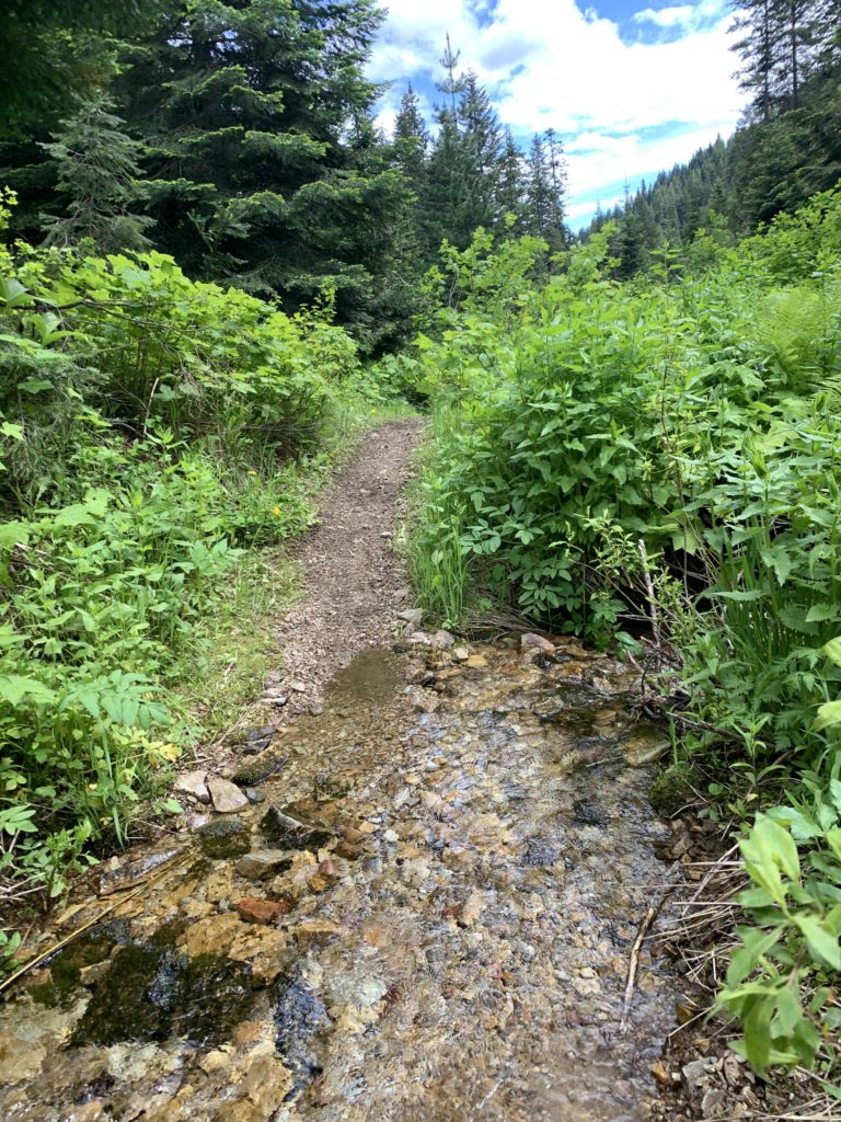
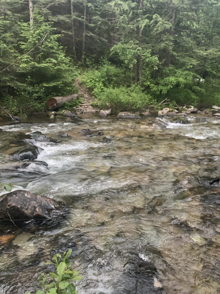
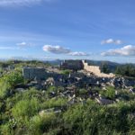
Take #44 northbound, which drops steadily through open forest that allows for frequent views of Elsie Peak, Silver Hill, and Striped Peak. Also, along this stretch are some enormous, ancient tree stumps dating back to the 1910 Great Burn. Near the 7-mile mark you come across the first source of water, which Naughty was delighted to explore. The trail loses elevation steadily and meets up with aforementioned brook again, crossing it numerous times. At first, this is an easy rock hop, but then gets increasingly difficult with the brook (Dent Creek) eventually taking over the trail. Thus, the Scribe stepped into Naughty’s shoes (that is, none) and tiptoed barefooted past Bronson Meadows. The Meadows are a brushy expanse, created, no doubt, at the whims of an army of beavers. It also once housed a major logging operation, with a narrow-gauge railroad paralleling the Middle Fork where today’s trail #155 runs. The Middle Fork is crossed at the western end of Bronson Meadows. The snow melt being behind us, this was a minor undertaking, but does require removal of shoes. Naughty was getting impatient and crisscrossed the creek umpteen times, with glee.
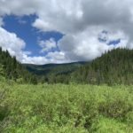
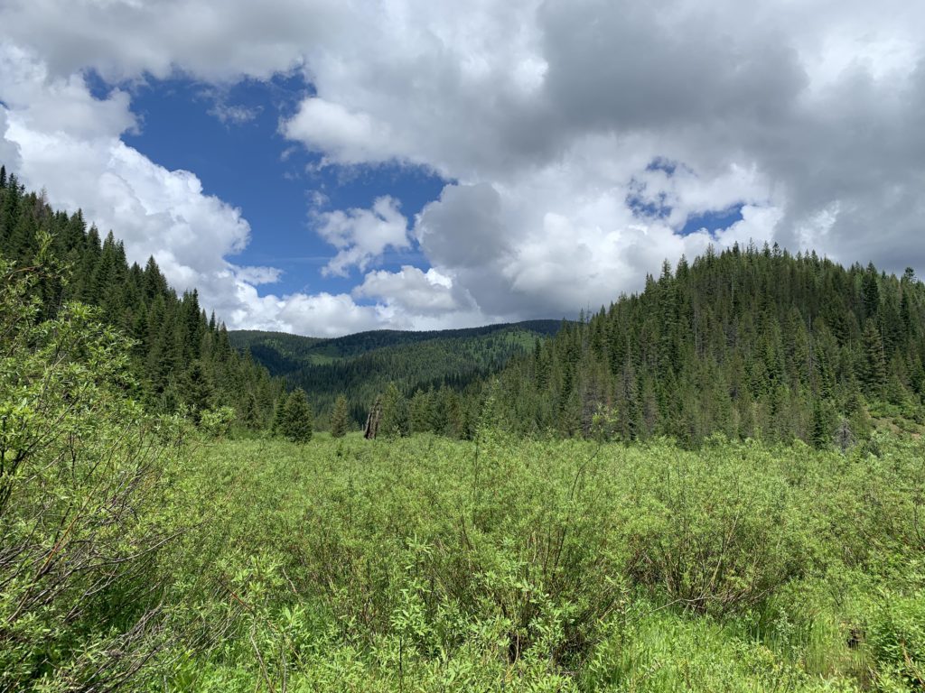
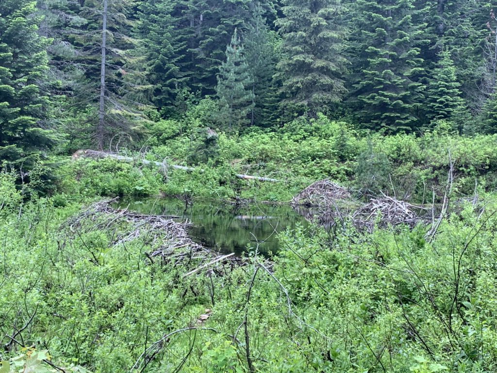
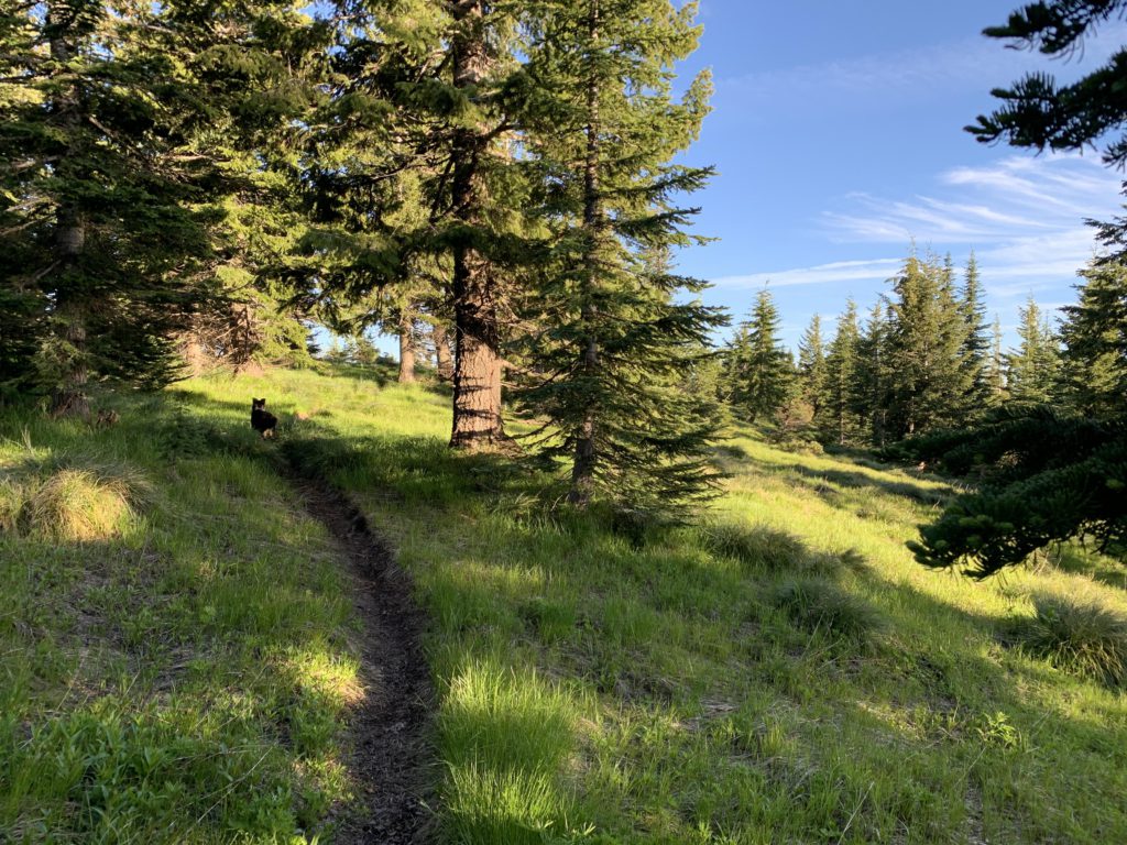
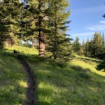
On the far side, the trail is a bit confusing. You are on the old railroad bed, which runs east-west. You want to go north. You can go either east of west way for a short distance, but must eventually head north. We chose east and went too far, coming upon the Middle Fork again. Backing up, we found the continuation of trail #44, across a trampled meadow not far from the location where we’d crossed the Middle Fork. The trail is in the woods, slightly above the valley floor. It continues uphill at a steady but barely noticeable incline, with the meadows below, studded with beaver lodges and home to elk and moose, making for a pleasant backdrop. The best part on this stretch is a series of beaver ponds near the 10-mile mark that appear to be staggered one after another over nearly a quarter mile. The beavers clearly like the shrubbery, but also felled some mighty large pines. Perhaps a mile later, you’ll cross the Middle Fork one last time and then leave it behind. Neither of us is keen on drinking water from beaver-inhabited streams, thus we filled our bottles at a tributary; however, if you want to wait until the last moment, now is the time to fill up on water as you won’t see another source until you drop to the bottom of Pierce Ridge. The climb to Kellogg Saddle is relatively quick, with the trail broadening as it gains elevation. Kellogg Saddle is at the end of trail #44, 12 miles into the hike.
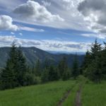
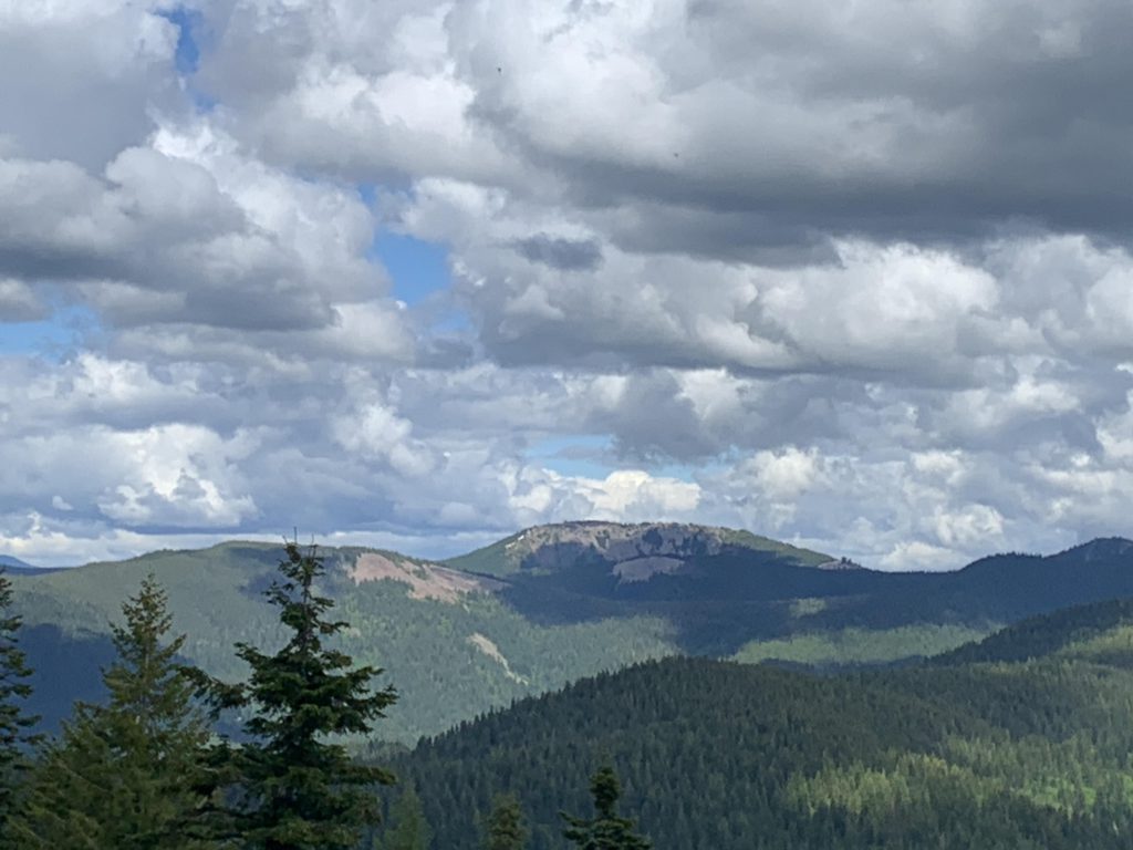
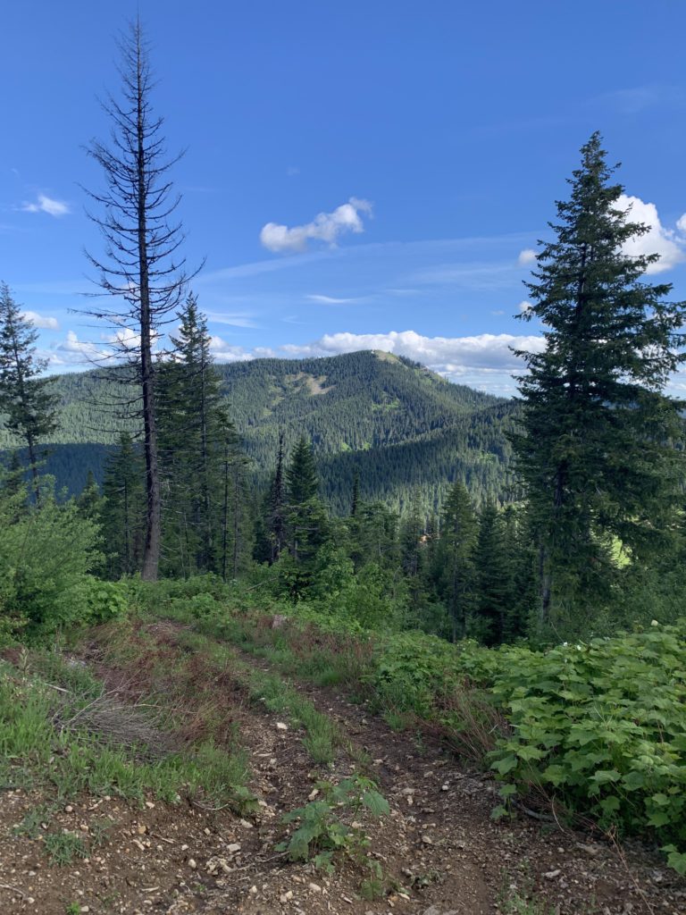
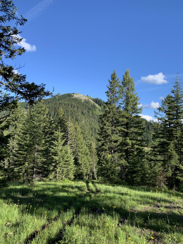
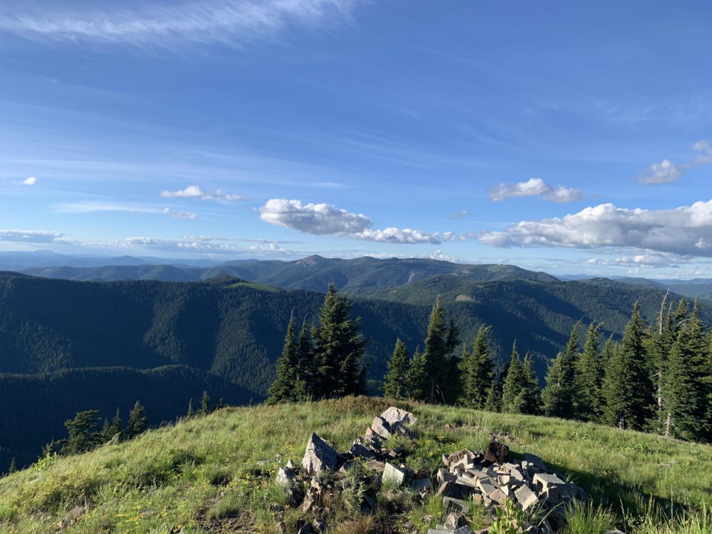
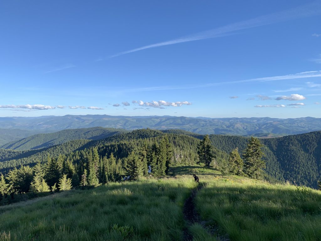
Now on trail #8, swing a hard left and try not to run out of breadth as you ascend steeply on a deeply rutted trail. Make sure to practice your catwalk, because there’s only room for one foot on the trail. Once at the top, the trail forks, with the left going out to Elsie Peak. Once you catch your breath continue to the right where the trail flattens for a bit, but all too soon starts to climb again to an unnamed peak at 5300 feet of elevation. There is a grandiose green clearing at the top, with fantastic views of Silver Hill, the Big Creek drainage, and a first really good look at Lemonade Peak (so far away!). Lemonade Peak aside, this is probably the best spot for views.
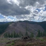
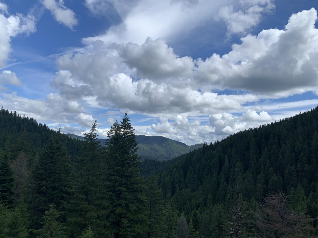
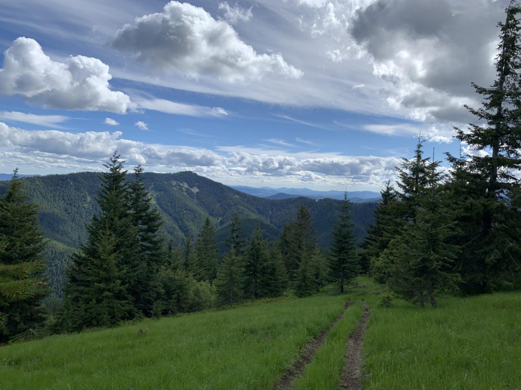
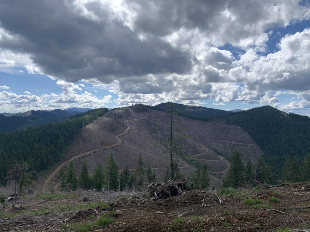
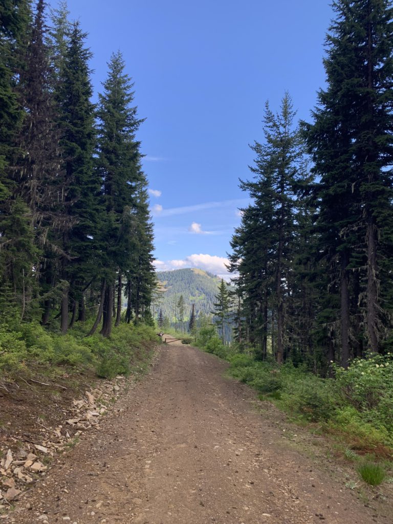
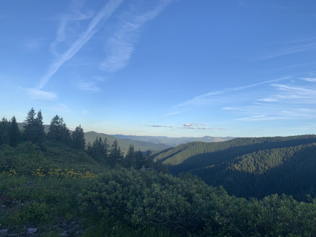
Trail #8 now turns into a twin track and remains in that shape until you get to the ascent of Lemonade Peak. Before you get to scramble that summit, however, you have to cover another 6 miles, hiking the undulating ridgeline in a broad arc heading due west, then south. Forest Service land ends soon after that clearing and you’ll have to cross a few depressing clearcuts. On the bright side, though, these clearcuts open up the view and you can see all the peaks and valleys you have yet to traverse. Near the 16-mile mark, the twin track spills out onto a logging road with good views of Lemonade Peak. This area appears to be popular with car-campers, as it is dotted with sites. Continue on the logging road until you get to an intersection. Here, bear left and drop down to a gate. Past the gate, the road switchbacks and immediately after the switchback the trusty twintrack reappears, to your left, with Lemonade Peak as a backdrop. It plummets downhill precipitously from over 5,000 feet to a saddle at 4,400 feet. As you descend, you’ll see a network of logging roads on the far side, as well as the twin track hugging the ridge.
Stick to the ridge as you ascend on the twin track, regaining all the elevation just lost, and then some. The trail is a bit obfuscated by logging activity, but it isn’t too hard to find–when in doubt just stick to the ridgetop. The trail eventually narrows as it reenters Forest Service land and the ascent to Lemonade Peak commences. At first this is a brutal head-on climb, fortunately later alleviated somewhat by a number of switchbacks.
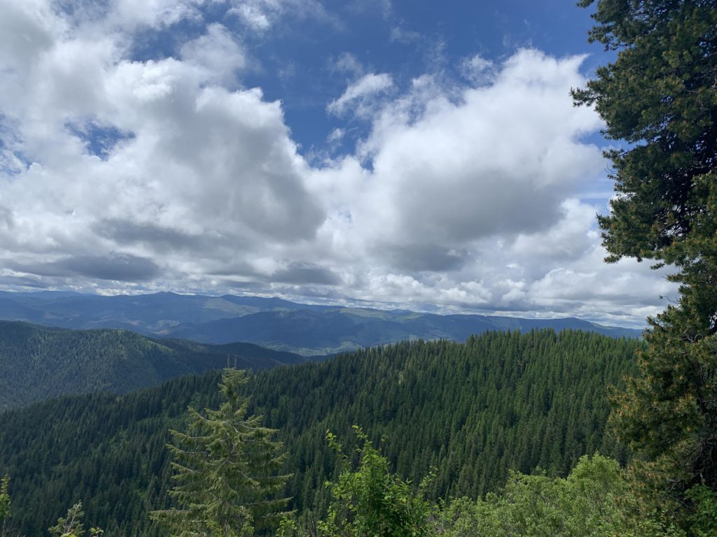
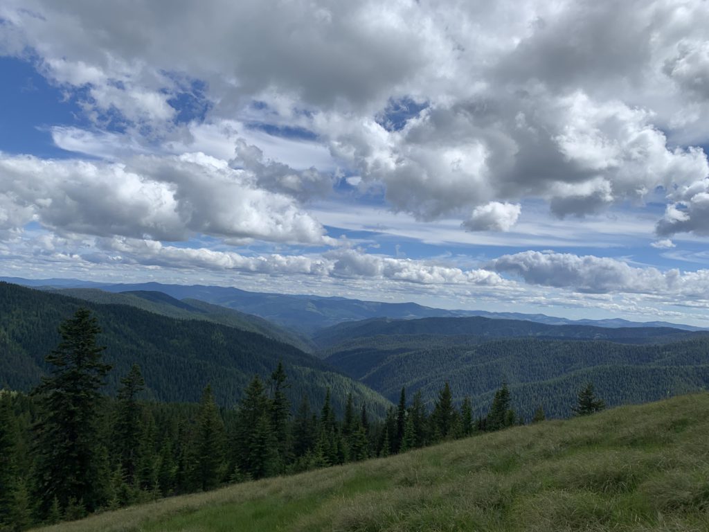
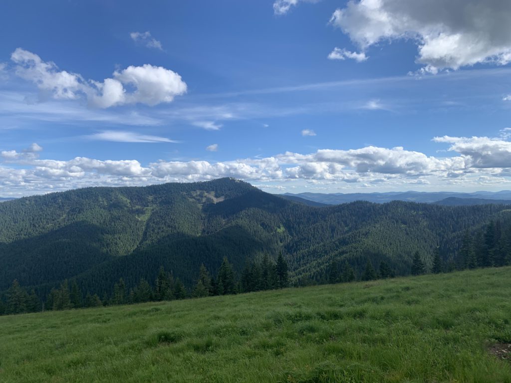
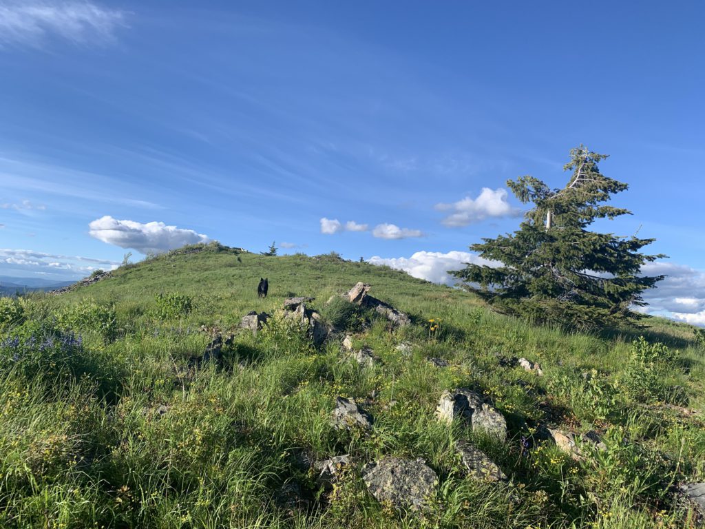
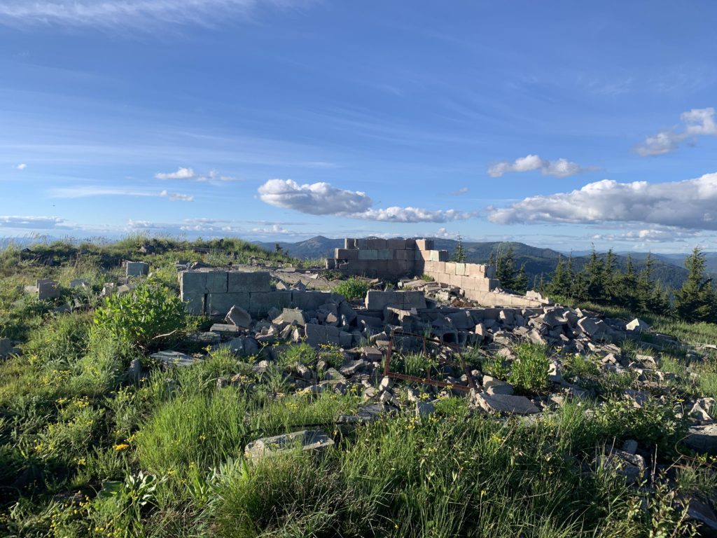
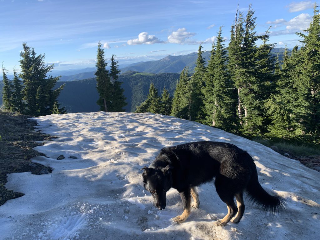
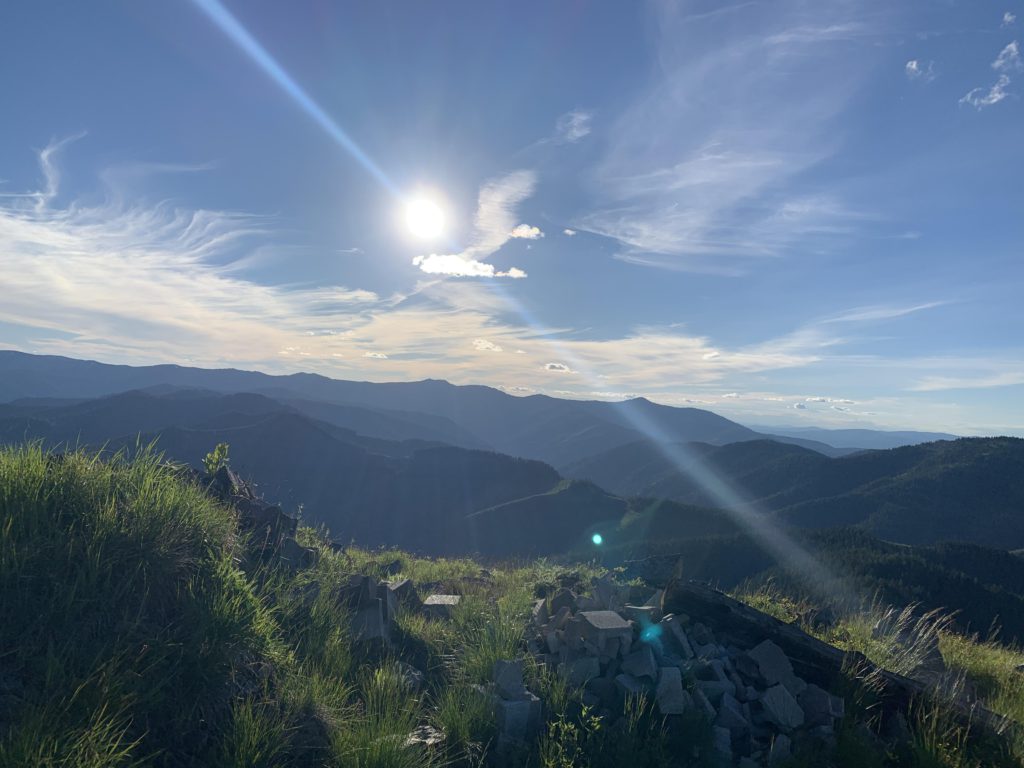
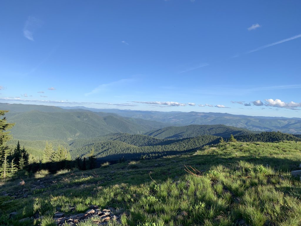
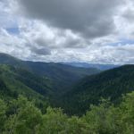
Lemonade Peak is covered in grass and wildflowers, enabling fantastic 360-degree views of waves of tree-covered hillsides and the typical patchwork of clearcut logging. You’ll see the ridgeline so arduously traversed earlier and further beyond into the St. Joe Mountains. There are also the less-impressive remains of an old lookout tower and a few leftover patches of snow.
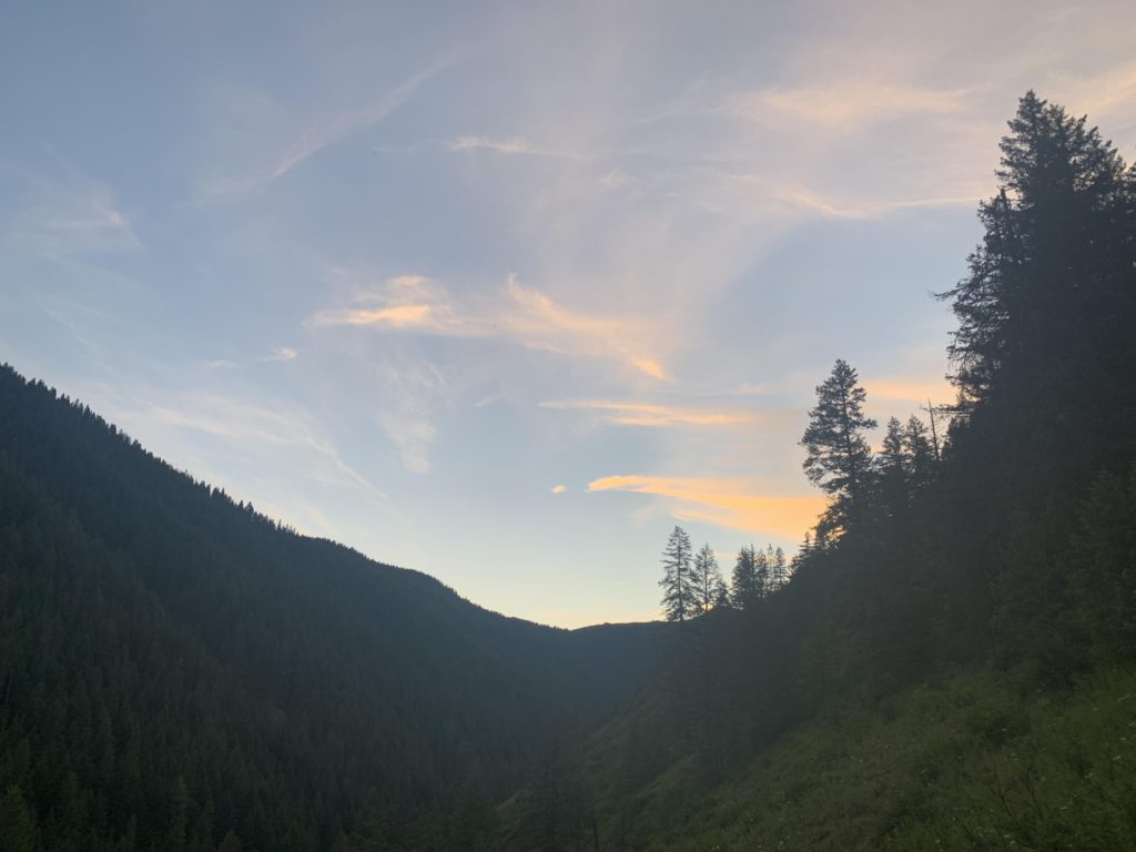
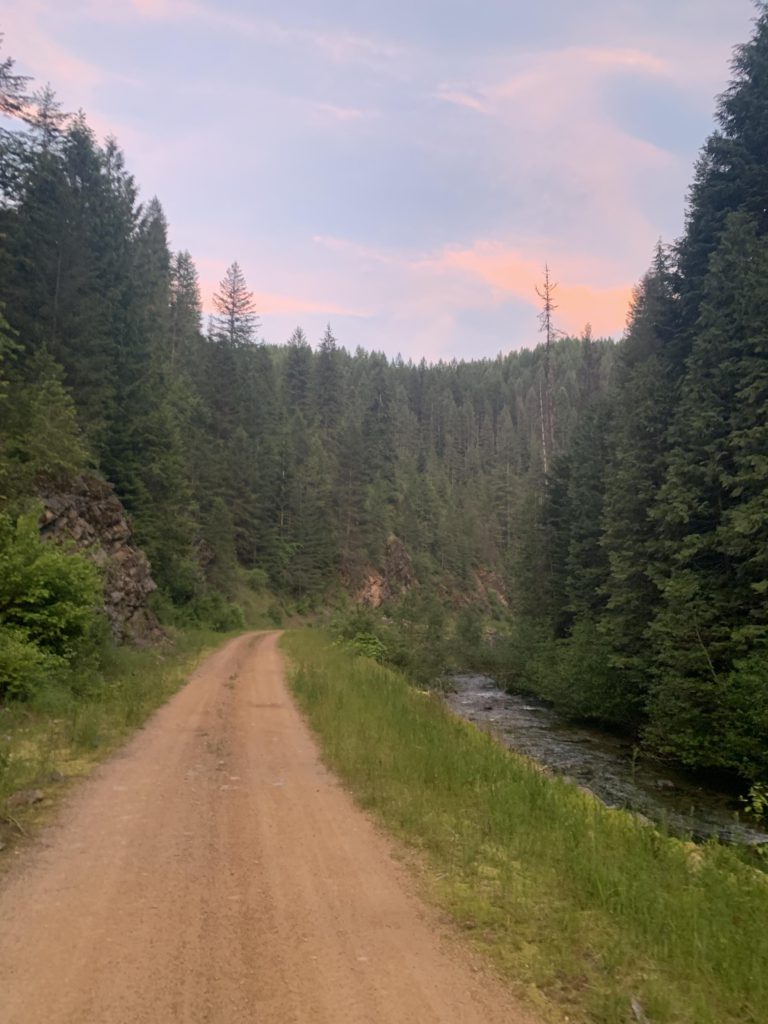
To complete the hike, head south along the ridge that hosts Lemonade Peak. This is a rather pretty section, smothered in early summer grasses, wildflowers, and weaving in and out of lightly-forested patches. Towards the end of the ridge is a fork, with the right dropping down to FR-748. Bear left, gaining a bit of elevation, and then it is steeply downhill on Pierce Ridge. The ridge offers some good views, especially higher up, where rhododendrons and sarvis berries are stunted, enabling views across them and across the valley to Daugherty Peak. It’s about 4 miles down, forested entirely, following the spine of the ridge no matter the incline, which in many cases is quite cruel. A few switchbacks help out near the end, to prepare for the next obstacle: crossing Big Creek. It was only about knee-deep, and we got there with some daylight left (8.50 pm). Naughty swam across, while the Scribe did not bother to remove shoes since the only thing left on the far side was a 3-mile road hike back to the car. We needed the headlight for just the last mile, so everything worked out just fine!
Alternate Routes
- To shorten the hike, return via Elsie Peak instead of Lemonade Peak
- Start the loop from the Cabin Creek trailhead instead of Daugherty Hill
- Trail #8 connects to #16, St. Joe Divide trail, which extends for miles east and west
Things to Consider
Not so great