- Coeur d’Alene Mountains
- Only at the trailhead
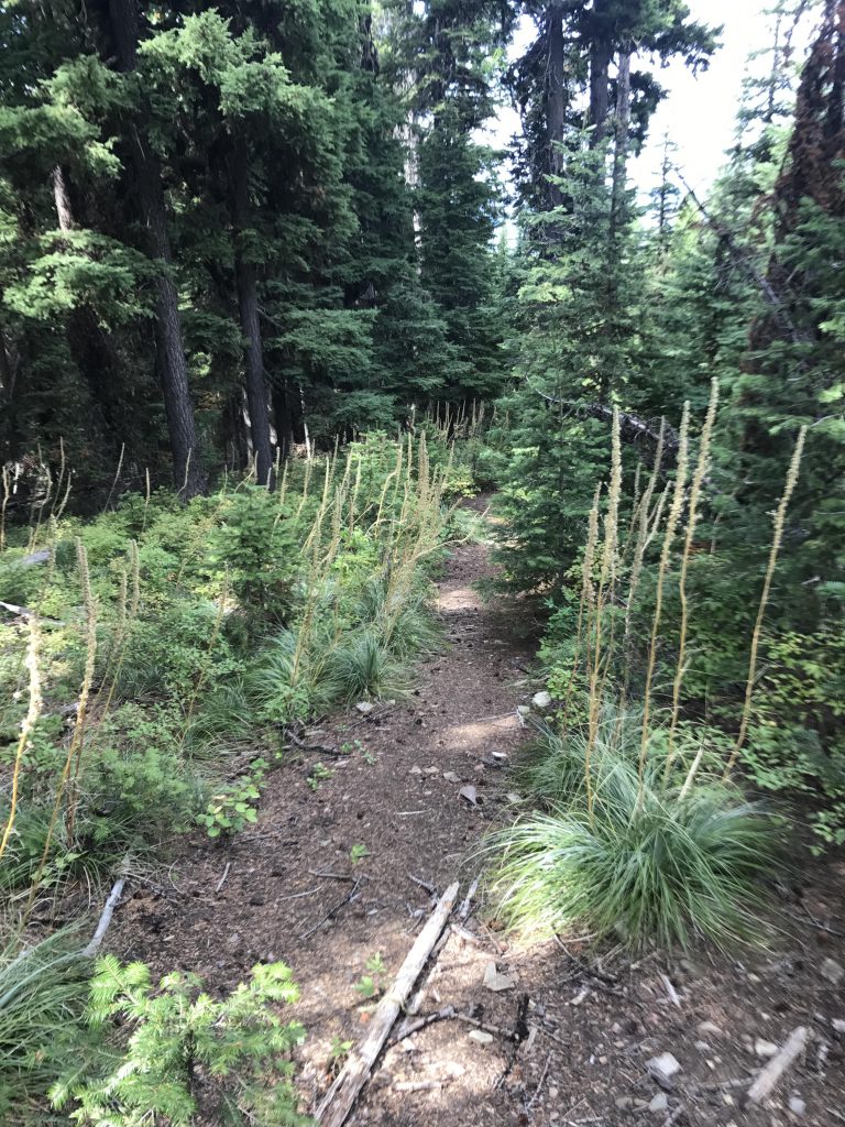
- Poor. The first 2 miles up are fair, but then the trail gets more and more overgrown and essentially non-existent once you’re beyond the 3-mile mark. The last half mile is mostly talus, with no indication of a trail.
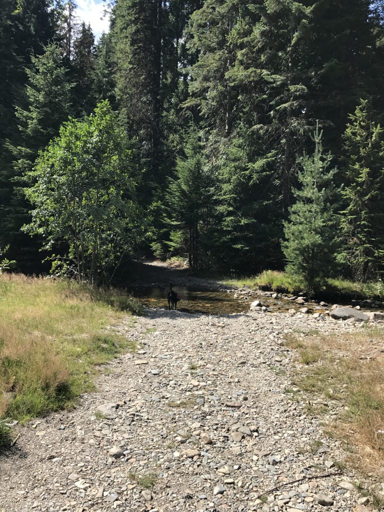
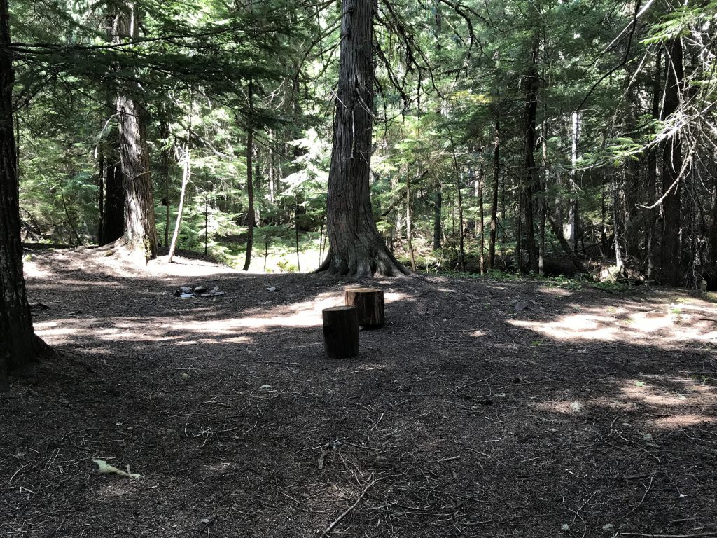
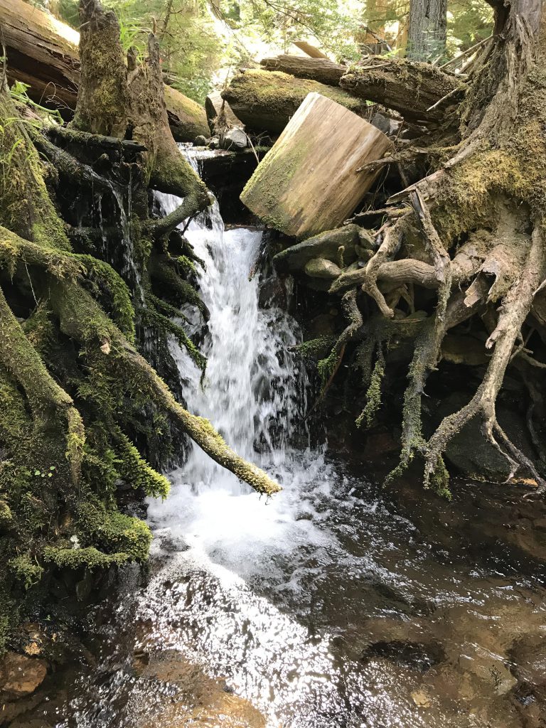
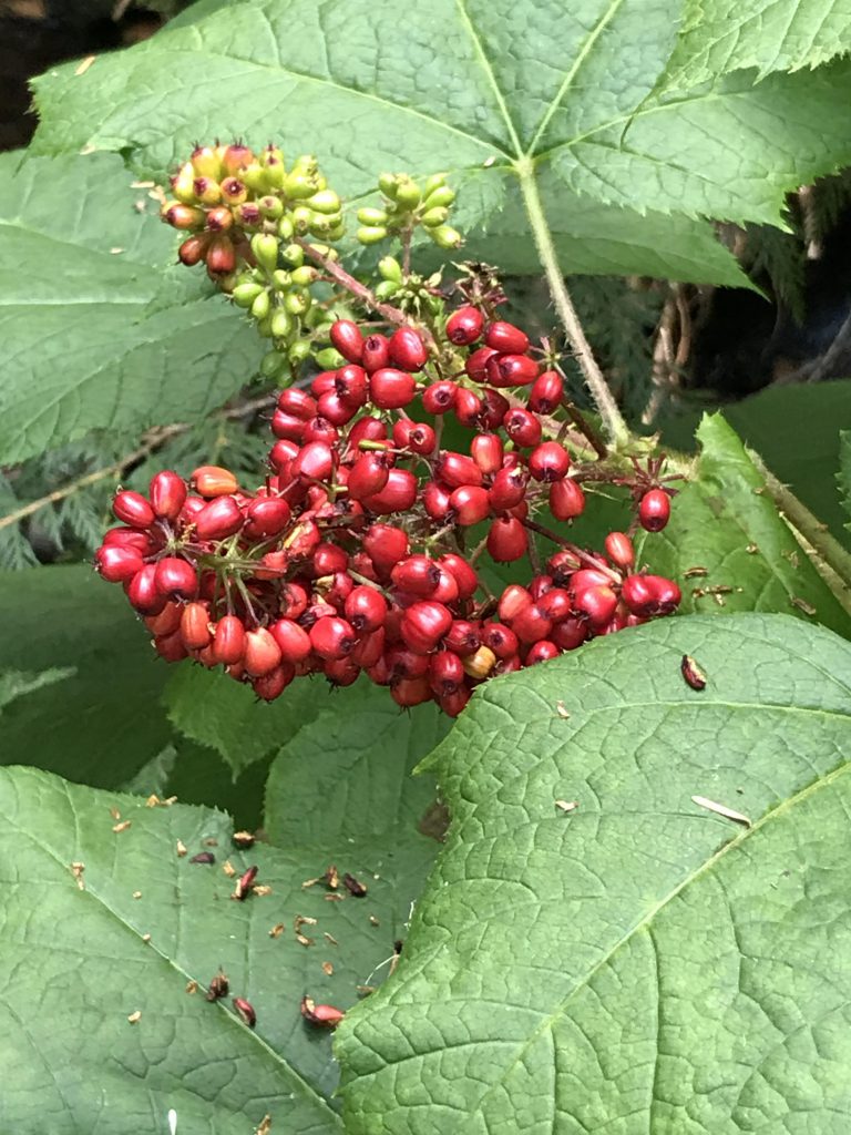
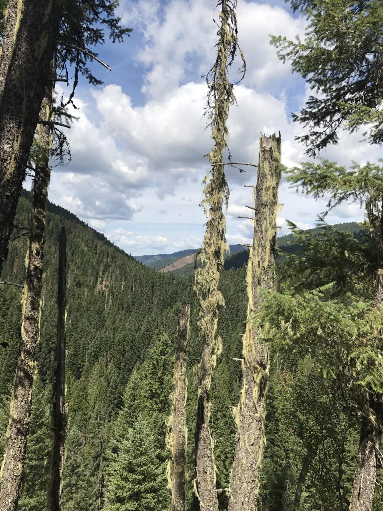
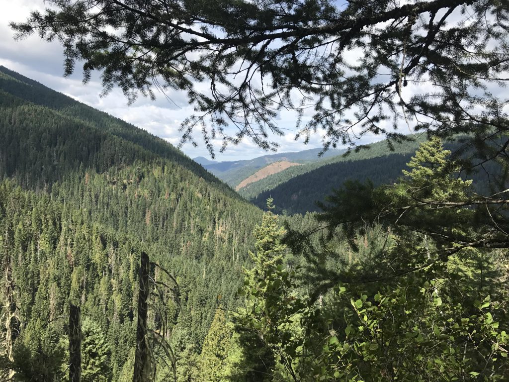
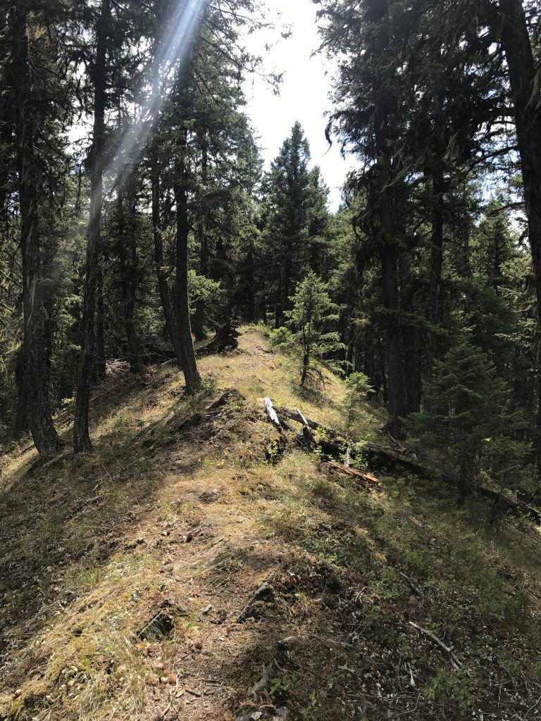
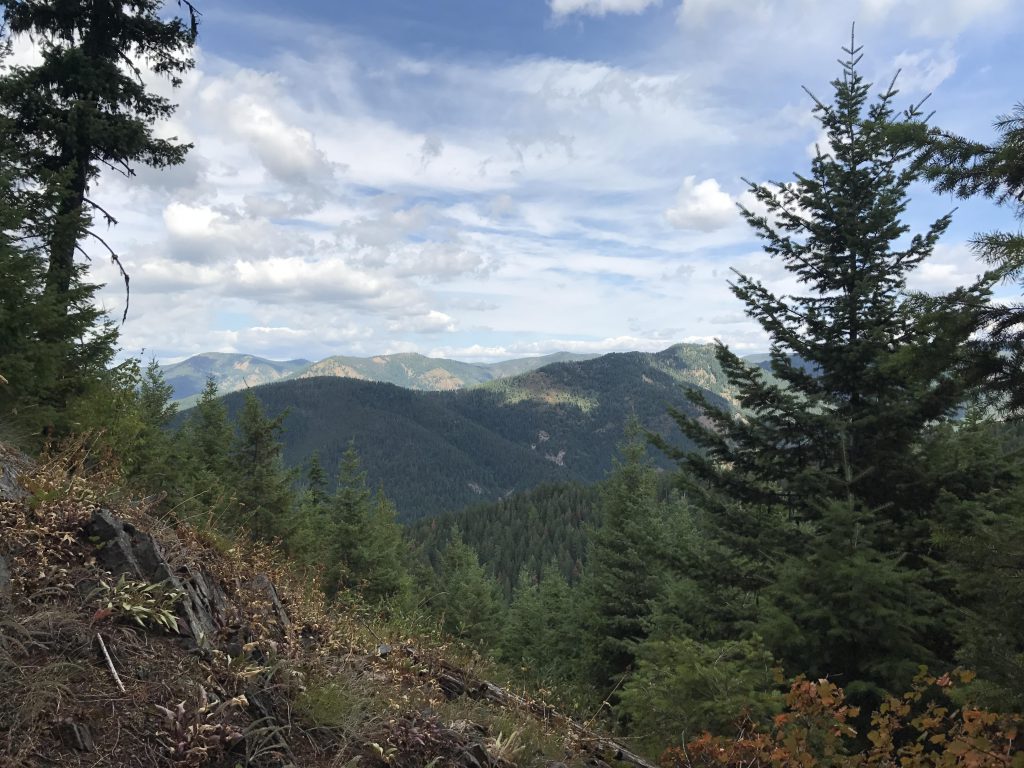
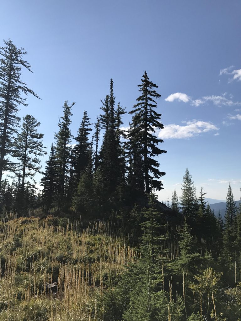
Trail #140 starts out innocently enough on an old logging road, fording Prichard Creek, and entering a lush forest of cedar and fir dotted with campsites. It’s possible to drive across Prichard Creek, and obviously that’s been done a number of times, judging by the tire tracks. The trail, marked with diamonds stapled to trees, continues along Granite Gulch for just under a quarter mile (stay on the left side of the creek), crosses Barton Creek, which is almost lost in a patch of devil’s club, and soon ascends the mountainside that is essentially the dividing ridge between Barton Gulch and Moonshine Gulch. The narrow single-track switchbacks uphill through a jumble of downed trees and reaches the ridge a bit past the half-mile mark. On the ridge you’ll have limited views northwest towards Murray, but as you climb the spine of the ridge, views of the Prichard Creek drainage (left) open up quickly, and soon you’ll have views to the right as well, towards Sunset Peak and Tiger Peak.
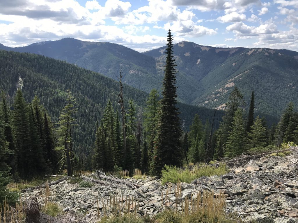
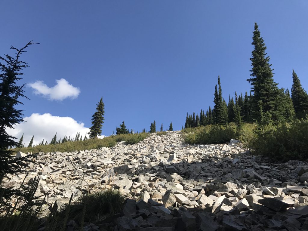
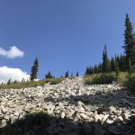
Around the 2-mile mark trail conditions get seriously worse. There are many downed trees and in some places the trail is so overgrown with alder that it’s almost impassible (see marker on trailmap). Unfortunately, it’s only going to get worse. The diamond signage end about half a mile into the hike. Up to around the 2-mile mark there are some plastic ribbons. Beyond that are blazes on trees, but these are hard to detect, and the trail is in such deplorable condition that it’s rarely worthwhile even finding them. Beyond the 3-mile mark it’s essentially a bushwhack. Higher up, once you’re within half a mile of the peak, there are patches of talus that make the ascent easier, but you’re essentially on your own as far as a trail and directions are concerned.
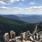
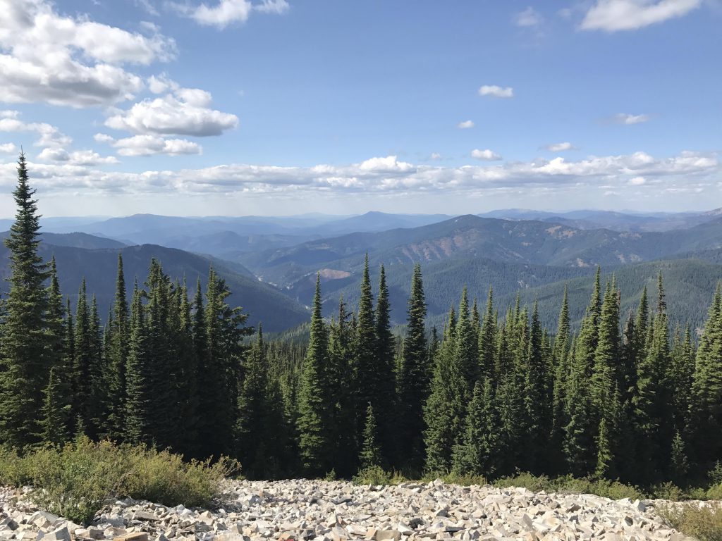
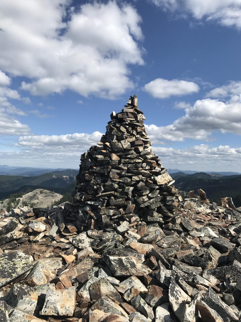
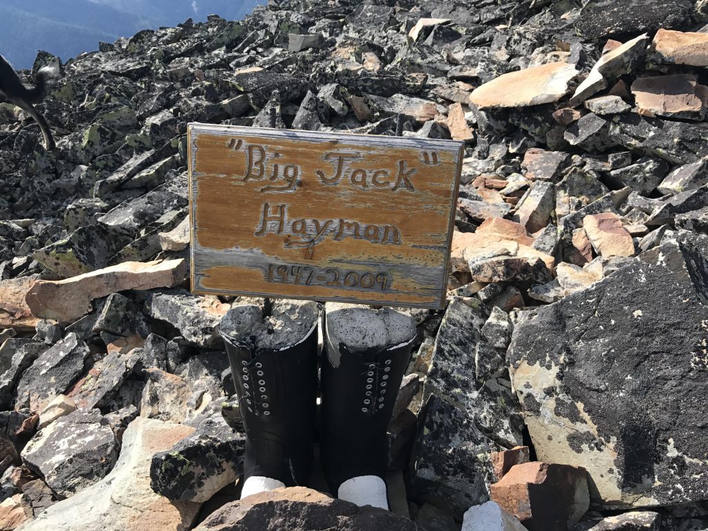
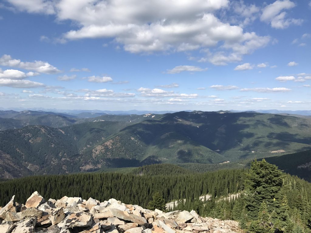
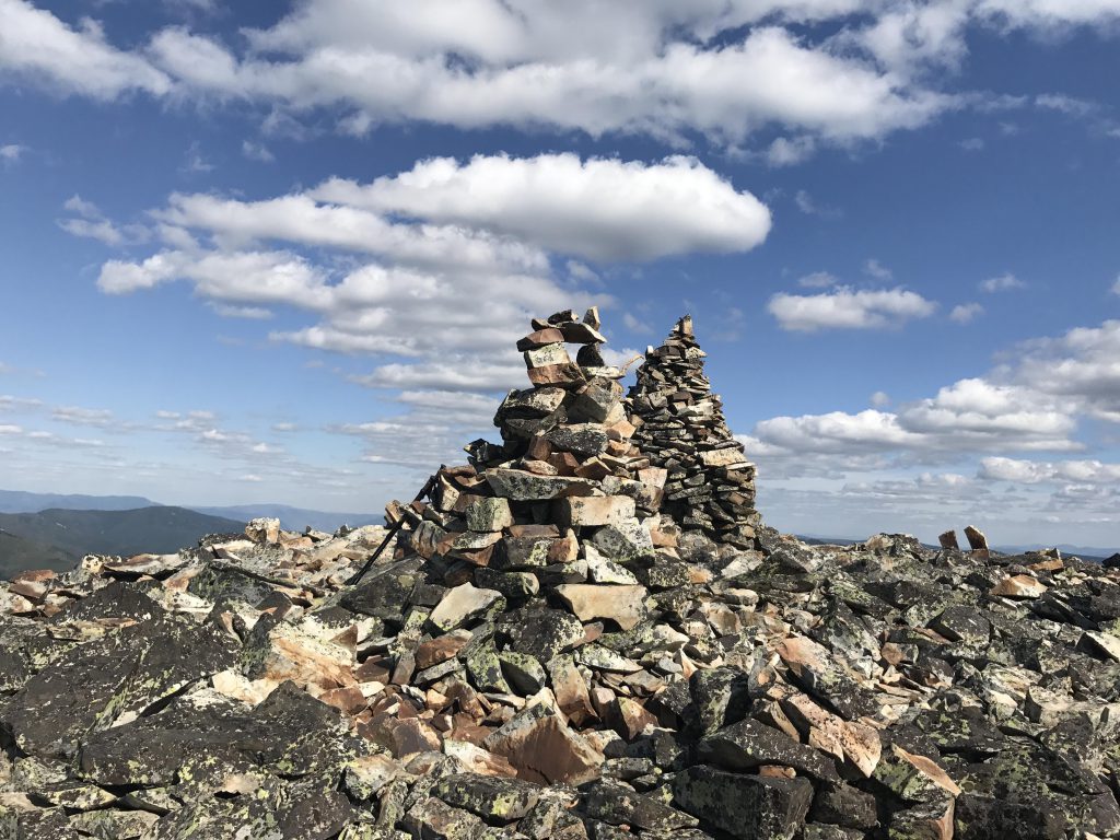
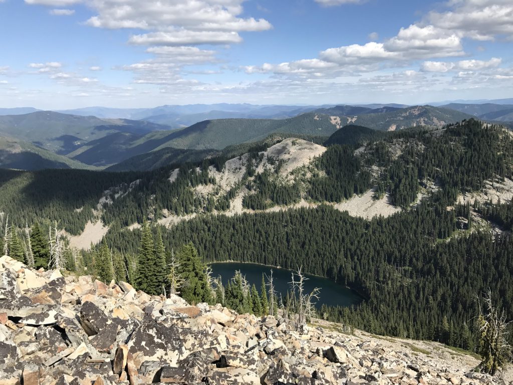
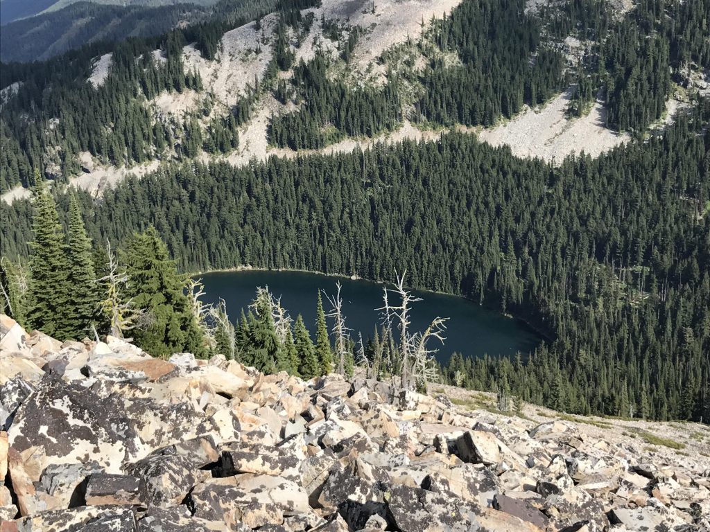
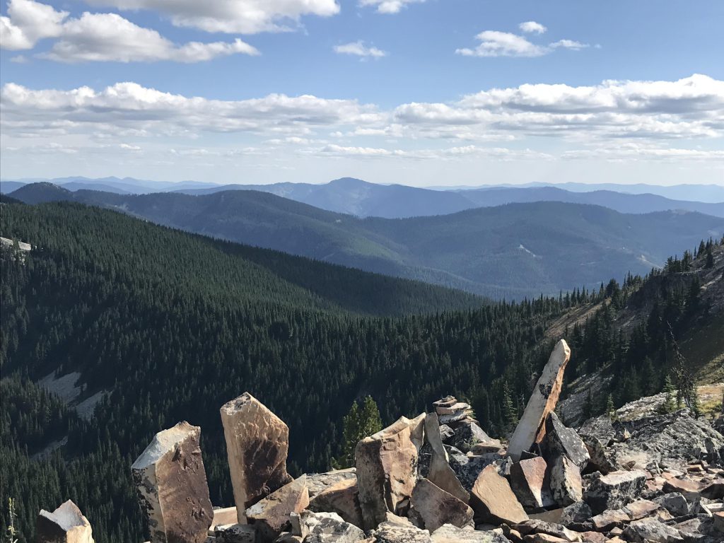
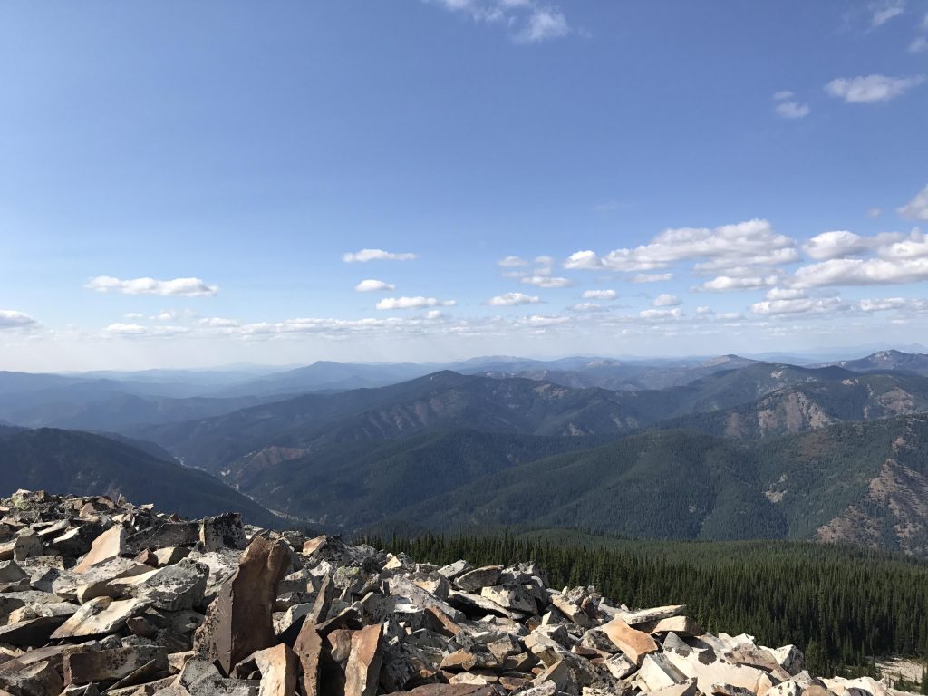
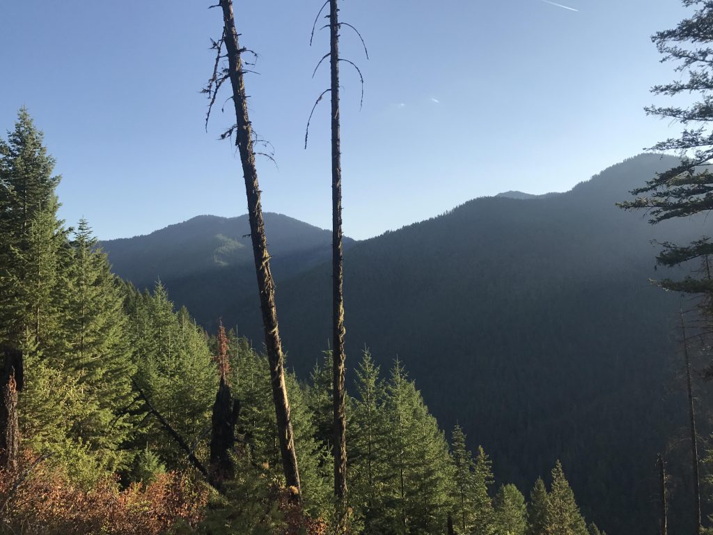
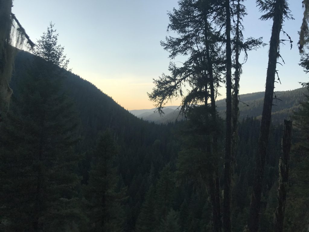
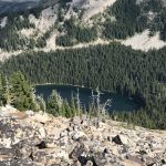
The views from the peak are breathtaking, however. Revett Lake lies at the mountain’s feet to the east, with the Montana portion of the Coeur d’Alene Mountains beyond. Southeast you can see the distant Bitterroot Mountains, and north and west the Prichard Creek drainage and the Idaho side of the Coeur d’Alene Mountains. The peak itself is actually just a heap of talus, graced with two mounds of piled-up rocks.
It’s too bad about the trail conditions. We did this as a group hike and may have to revise our policy to only take groups to trails previously scouted out…
Alternate Routes
- You can also ascend Granite Peak from the stateline trail or Sunset Peak via trail #137. That trail appears to be in much better condition, even having a trailbed across the talus slope!
Things to Consider
- The peak is very close to the Idaho/Montana stateline, which is also the time zone border. Your phone may switch to Mountain Time during the ascent…
Not so great